 Voie Verte Des Hauts De Tardoire Velo
 La campagne limousine, Les Cars 87
 Voie Verte Des Hauts De Tardoire Velo
The Voie Verte des Hauts de Tardoire
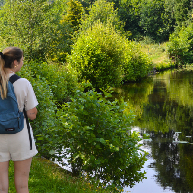
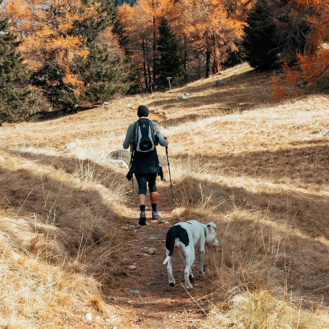
WHAT?Located in south-western Haute-Vienne, between Châlus and Oradour sur Vayres, the Voie Verte des Hauts de Tardoire is a 13 km asphalt path, open to walkers, in the heart of the Limousin countryside 🍃✨ It winds through unspoilt countryside, where rollerbladers, people with reduced mobility, hikers and cyclists can all enjoy a pleasant, safe trail.
If you’d like to explore the area on a different footpath, come and try out the equipment available for hire from the Espace loisirs, located in the former Châlus railway station, and the Oradour sur Vayres Tourist Office: mountain bikes, electrically-assisted bikes, child seats, recumbent tricycles, push bikes, follow bikes, quad bikes, rollerblades, horse-drawn carriages, tandems, helmets and protective gear, etc. There’s something for everyone and every taste. There’s something for everyone!
The Voie Verte is close to a number of hiking trails, so you can extend your enjoyment of nature 🌬️
1. The Moulichou circuit
Châlus11 km – 2h45 – Moderate difficulty – On foot
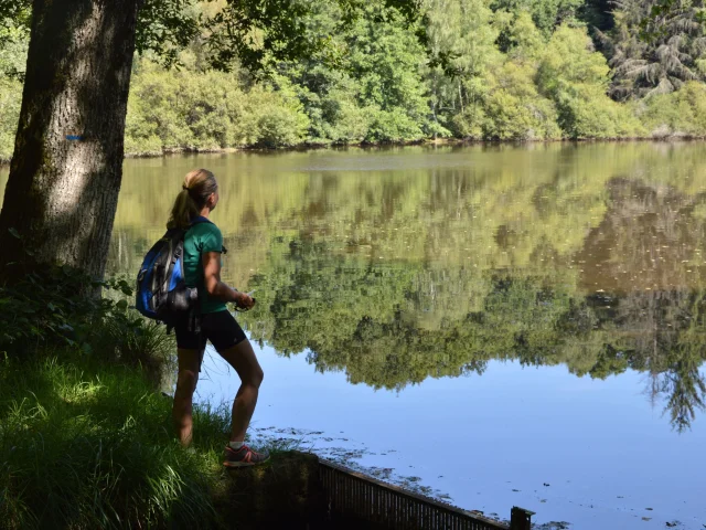
Leaving from the center of Châlus, on Place Cardailhac, the Moulichou trail offers a pleasant stroll through beautiful nature, small heritage sites and charming old stones. With a length of 11 km, it takes 2 hours 45 minutes to complete. On a warm spring or summer’s day, it’s the ideal path to enjoy the shade of the lanes and ponds. To start, take rue du Chêne Vert in the direction of Mazaubrun, then plunge into the forest along the path on your right. From there, let the sun’s rays guide you… and the signs!
Walk past the mottes castrales of Mazaubrun, discover charming little villages such as Chareilles and Négrier; cross the old railway tracks; take a cool break by the “Rompu” pond and its waterfall; then resume the walk towards the Moulin du Lac, the Fontaine de Gouhaut and finally the Voie Verte. A welcome refreshing break!
 Hiking in Chalus Circuit Du Moulichou Balades En Limousin 1
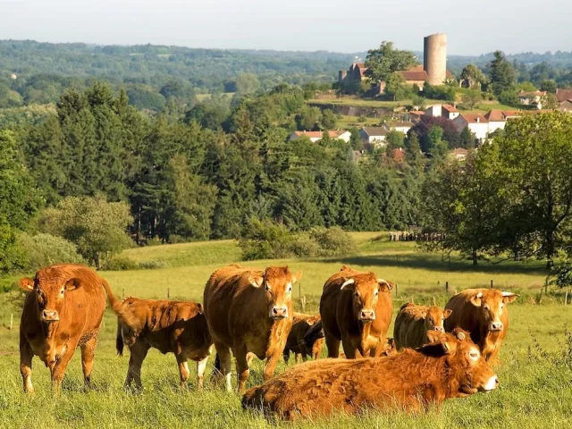 Circuit des Pinélous - Châlus
2. The Pinélous circuit
Châlus15.7 km – 4h00 – Difficult – On foot
The Pinélous circuit takes you on a hike through the heart of the Châlus countryside, discovering charming little hamlets and the Limousin bocage on sunken lanes. You’ll be able to enjoy several viewpoints over Châlus and the Châlus-Chabrol castle. Along the way, you’ll take in a small section of the Voie Verte des Hauts de Tardoire, cross the Pinélous forest massif, and discover the charming church of Lageyrat, listed as a Monument Historique, whose inverted hull frame and nave floor paved with remarkable funerary slabs are well worth a stop.
3. The well trail
Champsac23 km – 5h00 – Medium difficulty – On foot
Departing from Champsac town hall, the “sentier des puits” (well trail), rich in small wonders of our local vernacular heritage, offers you a 23 km hike through the Limousin chestnut grove countryside. Right from the start, enjoy the panoramic view of the Monts de Blond and Ambazac. Along the way, you’ll follow the old railroad line transformed into a greenway, then the old Roman road, enjoy the panoramic view over Champsac, the pond (a welcome stop to observe the birds and flora), discover old bread ovens, wells, wash-houses, fountains (including the Saint-Roch devotional fountain) as well as the Romanesque church and Saint-Roch chapel.
[Variant 1: 16 km – 4h00 & Variant 2: 18 km – 4h30]
It’s also possible to shorten this tour to either 16 or 18 km.
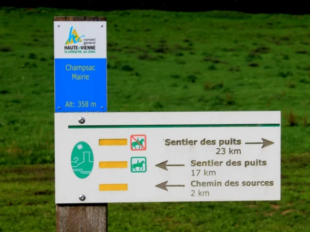 Le sentier des puits à Champsac
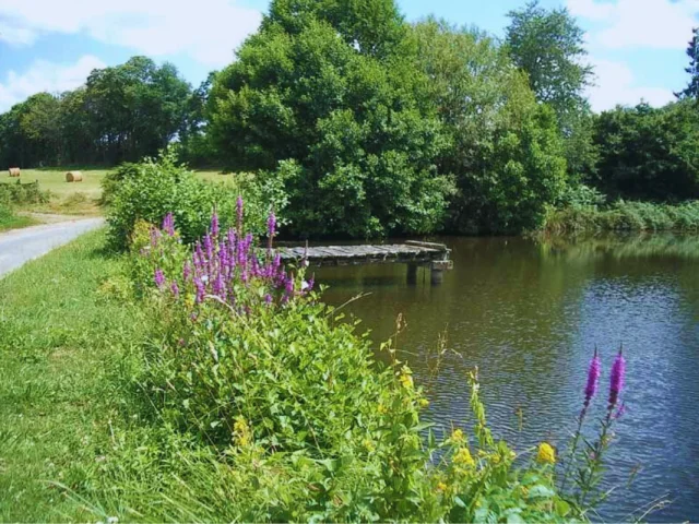 Chemin des Sources - Champsac
4. The springs path
Champsac2 km – 0h30 – Very easy – On foot
The Chemin des Sources invites you to take a short stroll through the Limousin bocage. Starting from the village center, take a number of small paths: alternately stony, tree-lined, grassy, then hollow, lined with low dry-stone walls and a variety of flora. Everywhere, admire the landscape and the view of the bocage. You’ll also cross the charming little stream of La Monnerie, from which this springs trail takes its name.
On arrival, take advantage of your visit to Champsac to tour the village and its Romanesque church. And for the more adventurous, take a walk along the sentier des puits (23 km)!
5. The hedgehog trail
Champagnac-la-Rivière15.5 km – 4h30 – Moderate difficulty – On foot
This 4-hour hike is an invitation to discover an unsuspected heritage typical of the Périgord-Limousin Regional Nature Park (fountain, wash-house, clédier, earth block, wells, water reservoirs, reefs, etc.). A few metres from the start, you’ll pass the Saint-Pierre-Saint-Paul votive fountain, set in a wall, and another fountain 50 metres away in the adjoining meadow, with no known name. These fountains were said to cure fear. You’ll make your way to the village of La Pouméroulie, where the streetcar used to run from Oradour-sur-Vayres to Limoges. At Jarosses, discover a well with a monolithic coping, an earthen block and a 17th-century barn.
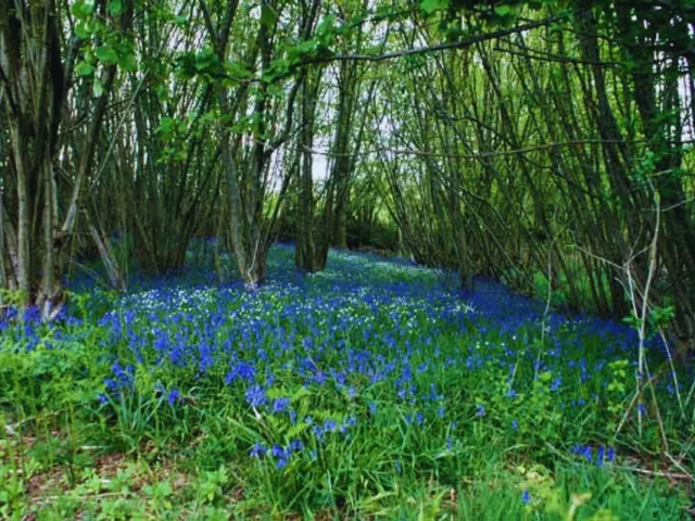 Sentier de randonnée Les Hérissons à Champagnac-la-Rivière
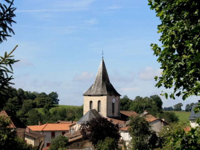 Champagnac-la-Rivière
6. Les biches trail
Champagnac-la-Rivière10 km – 2h30 – Easy – On foot
This 10 km walk around the village will take you through several small villages: Mondoux, La Vauperie, La Jaurie and Tamisac. Points of interest include the megalithic bridge to Mondoux, the fisheries, the well in the barn wall at La Jaurie, and more. And don’t miss the 12th-century church and its 17th-century presbytery in the town center!
7. The Squirrel Trail
Champagnac-la-Rivière7.2 km – 1h30 – Moderate difficulty – On foot
This 1.5-hour hike invites you to discover two masonry water reservoirs, called ris by the Limousins, which were also used for washing clothes in days gone by. Also on the trail: wash-house, Saint-Pierre – Saint-Paul votive fountain, well hidden in the foot of a stable wall, etc. Along the way, you’ll follow the Voie Verte and admire the village of Champagnac and its Romanesque church from a number of viewpoints along the way.
A small variation of this trail is the botanical path, accessible only to pedestrians. To do this, cross the granite bridge over the Jouveau stream, then return to the village via “la Règle”, a part of the village named after an ancient abbey.
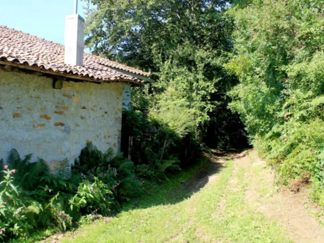 Sentier de randonnée à Champagnac-la-Rivière
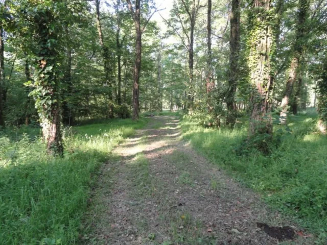 Sentier du bois des Chapelles à Oradour-sur-Vayres
8. Chapel wood trail
Oradour-sur-Vayres1.3 km – 1h00 – Easy – On foot
This short trail is dotted with signs providing information on traditional Limousin buildings to be observed along the way: wash-house, clédier, etc. Enjoy a family stroll through an orchard, oak woodland and wetland, and learn more about the importance of wetlands for the balance of nature and people. Discover some of the plant and animal specimens that are emblematic of these essential ecosystems. A simple, fun walk, just a stone’s throw from the Voie Verte!
9. The three rivers circuit
Oradour-sur-Vayres20 km – 5h00 – Difficult – On foot
The circuit des trois rivières is a beautiful hike in the heart of the Périgord Limousin Regional Nature Park. This 20km hike offers a variety of interesting landscapes, panoramic views over the Limousin countryside (Le Serve) and passes through charming hamlets in the Limousin, such as Les Chapelles (cedars and fine views over the Tardoire valley and the village of Cussac), Les Âges (old mill and millstream), La Tamanie (Dolmen de la Tamanie), La maison du garde barrière, Le chemin des Pautes (which leads from Rochechouart to Château du Boucheron and the village), Le Boucheron (site of the former castle of the Lords of Oradour), etc.
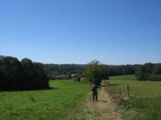 Circuit des trois rivières à Oradour-sur-Vayres

