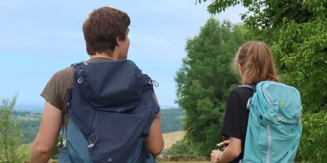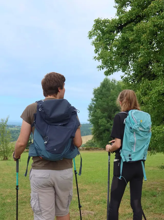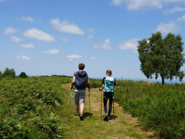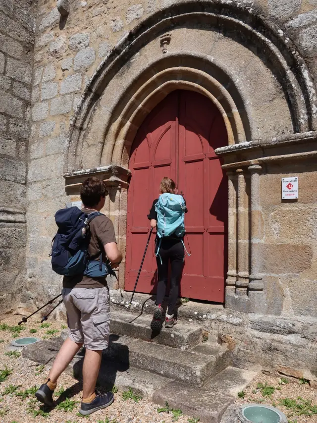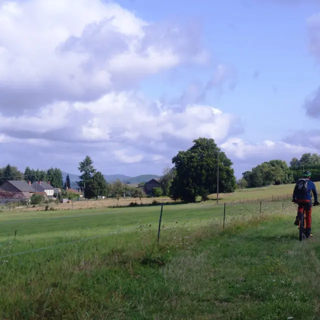
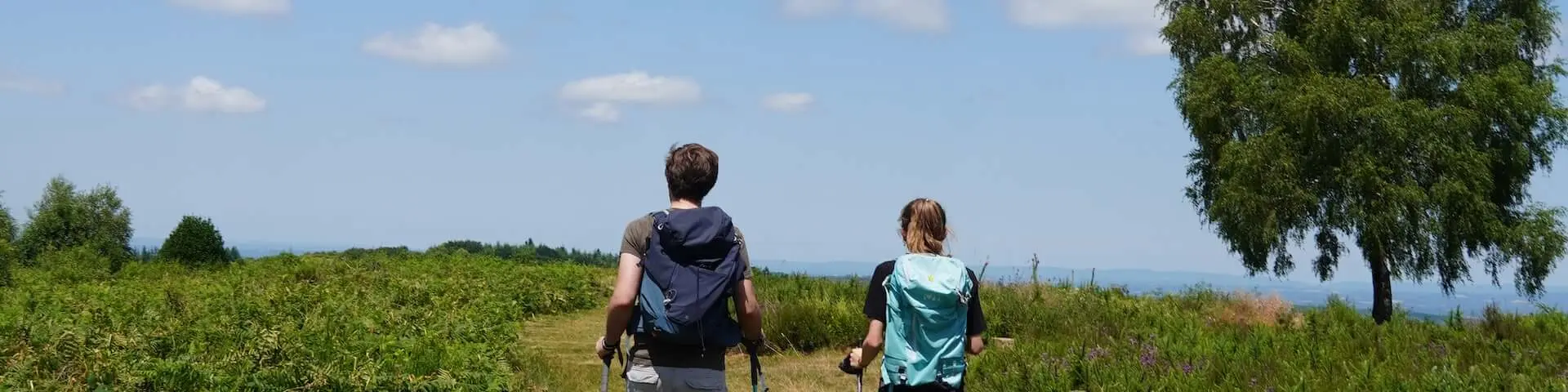
Au Mont Gargan hiker
©

Au Mont Gargan hiker

|

visitlimousin

In the footsteps of the Limousin Resistance

GR® de Pays Monts et Barrages in the Limousin – Circular walk between Combade and Briance – Eymoutiers variant

Ajouter aux favoris

Do you know the story of the Resistance fighters from the ‘ Limousin ’? 🤔

On this ‘Grande Randonnée de Pays’ hike, discover the key sites of the Resistance during the Second World War centred on Georges Guingouin’s maquis, which was feared by the Germans, who nicknamed this area ‘Little Russia’. 🍃

Starting from Eymoutiers, the gateway town to the Millevaches Regional Nature Park, the route winds its way up to the iconic summit of Mont Gargan (at an altitude of 731 metres), which offers stunning panoramic views of the surrounding area. On a clear day, you can even catch a glimpse of the Puy de Sancy.⛰️ This route is one of the loops on the GR© de Pays Monts et Barrages.

To be carried out in
4 days
76 km

Eymoutiers – Sussac – Saint-Méard – Châteauneuf-La-Forêt

Step
01 Step

From Eymoutiers to Sussac

20 km – 5 hours – 595 m elevation gain

From Eymoutiers to the Sussac bathing lake, this first stage is characterised by the variety of its landscapes and built heritage.

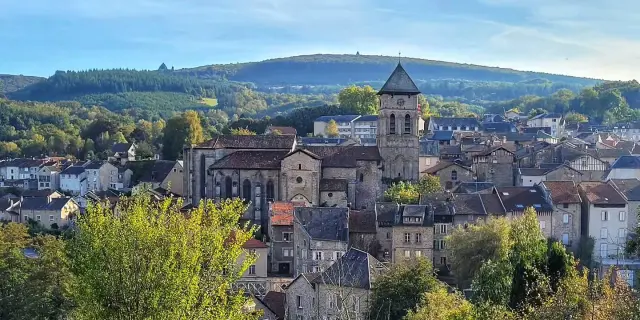
On this section of the GRP© Monts et Barrages trail between Briance and Combade, you can admire the Collegiate Church of Saint-Étienne in Eymoutiers, as well as rural buildings with distinctive architecture, such as a former coaching inn in the village of Villevaleix. 🏤🥾

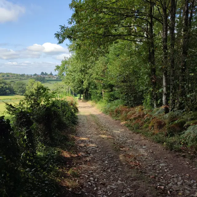
As you head away from Eymoutiers along wooded paths, you’ll leave the steep-sided Vienne valley behind and make your way to the Combade valley. 🍃

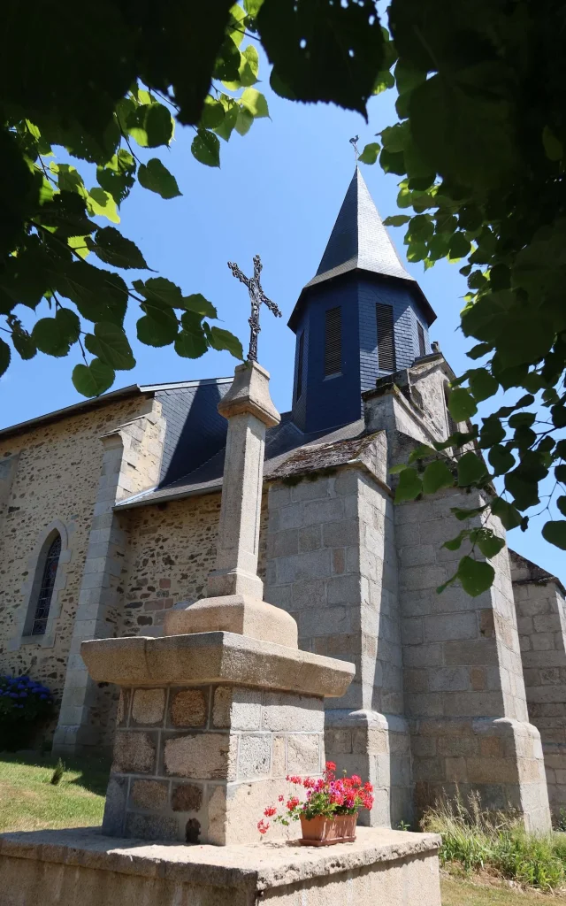
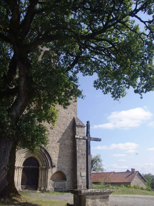
This route invites you to switch off and take in the scenery, particularly from the Sainte-Anne hill, which offers a surprisingly unobstructed view of the surrounding countryside in the shade of one of the village’s three churches. ⛪️

Yes, you read that right – a village Limousin, has three churches. We’ll tell you more about it in stage 3 on day 1!
02 Step

Sussac to Saint-Méard

22.1 km – 5 hours 30 minutes – 361 m elevation gain
On this second stage, the memory of the Resistance is ever-present.🗡️

During the Second World War, this region saw a major maquis (founded around Georges Guingouin) take on the Nazi invaders and Pétain’s dictatorial regime, with regular acts of resistance culminating in the battles of Mont Gargan in July 1944. 🪖

This site at Mont Gargan is the highlight of this stage – it’s an absolute must-see!

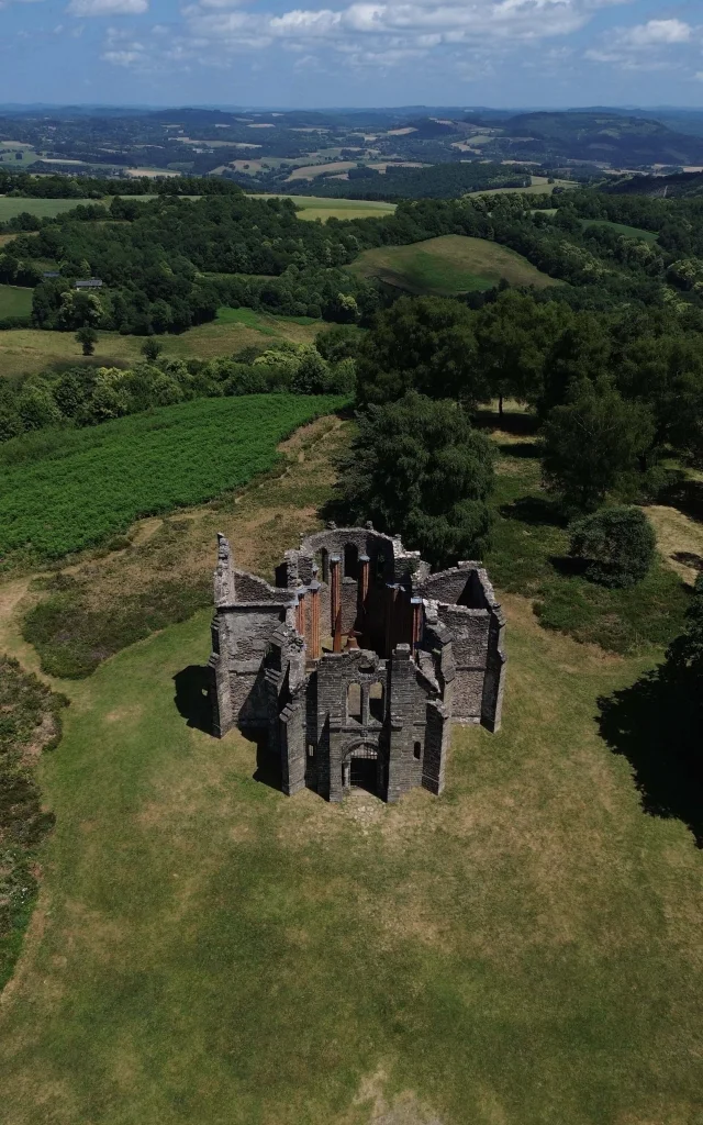
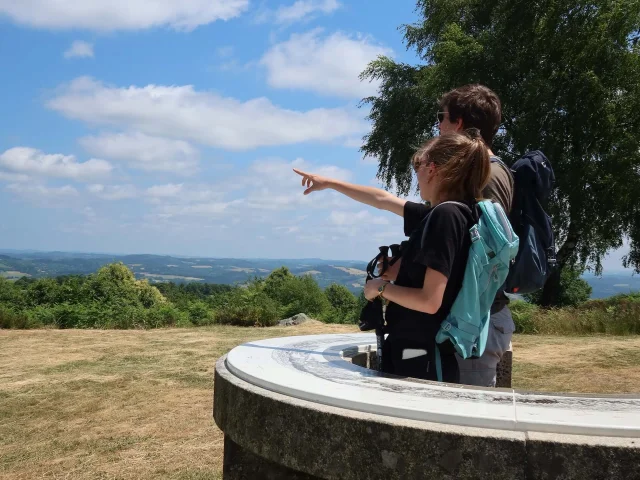
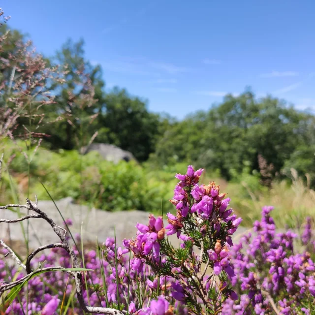
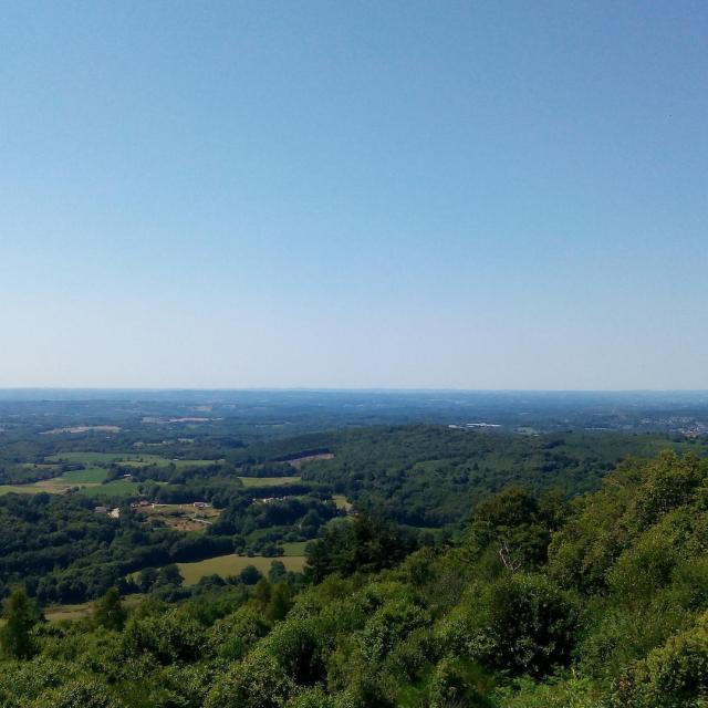
Beyond its history and its ruined chapel, it is one of the highest points of the ‘ Limousin ’, offering sublime panoramic views. You can also admire the dry heathland, a natural habitat rich in biodiversity that once covered all the peaks of the ‘ Limousin ’. 🌿

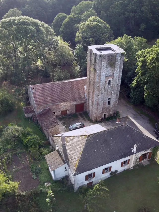
The route will also take you through simpler landscapes to Saint-Méard and its Tour d’Echizadour, one of the few medieval keep towers in the Haute-Vienne region on the ‘ Limousin ’ trail.

03 Step

Saint-Méard in Châteauneuf-la-Forêt

18.5 km – 4 hours 45 minutes – 405 m elevation gain

The third stage of this GR de Pays© takes you through the Limousin countryside and its villages, which adorn the landscape with their unassuming rural architecture, born of traditional craftsmanship.

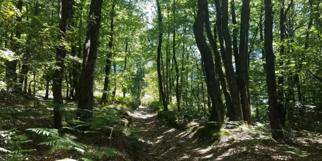
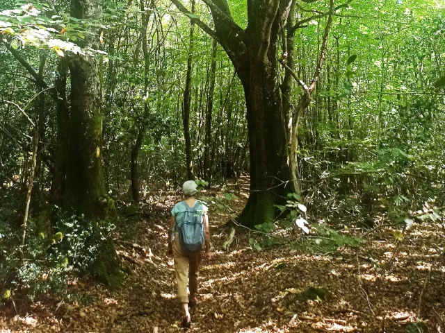
Crossing the Châteauneuf forest offers a final chance to immerse yourself in the woodland – but not just any woodland, as this is one of the oldest forests in the department, dating back to medieval times.

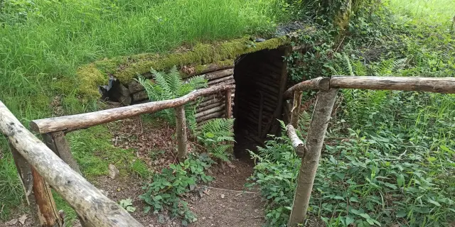
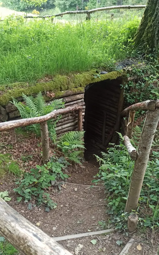
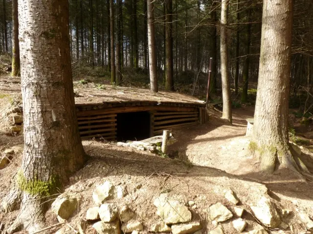
Take a detour to the reconstructed hideout of the Maquis, where Georges Guingouin’s Maquis was founded in March 1943, to immerse yourself one last time in the history of the Resistance in Haute-Vienne.

You’ll pass through Châteauneuf-la-Forêt, your destination for this stage, where you can enjoy the peaceful setting of the lake to recharge your batteries. 💦

04 Step

Châteauneuf-la-Forêt à Eymoutiers

14,9 km - 3h45 - D+ 396 m

Voici la dernière étape de votre boucle entre Briance et Combade du GR de Pays Monts et Barrages.

Au départ de Châteauneuf-la-Forêt, cette dernière étape vous mènera jusqu’à Eymoutiers en serpentant par monts et par vaux entre les vallées de la Combade et de la Vienne. 🍃

Vous emprunterez tour à tour des pistes agricoles et forestières et des sentiers en sous-bois… qui vous offriront des fenêtres paysagères sur les vallées alentour.

Profitez de cette étape plus courte pour prendre le temps de découvrir les patrimoines de Châteauneuf au départ de l’étape, et d’Eymoutiers à l’arrivée. Sur les bords de Vienne, prenez le temps d’une pause gourmande autour d’une spécialité sucrée locale : le Pelaud, biscuit aux amandes et au chocolat. 🍫

Eymoutiers to Sussac

20 km – 5 hours – 595 m elevation gain

Step
01 Step

Eymoutiers

Is your rucksack ready?

Let’s go – off to the first stage of your first day on the loop between Briance and Combade on the GRP Monts et Barrages trail.🥾

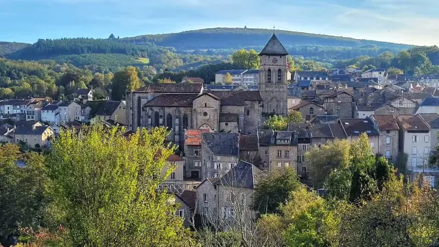
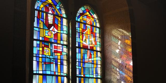
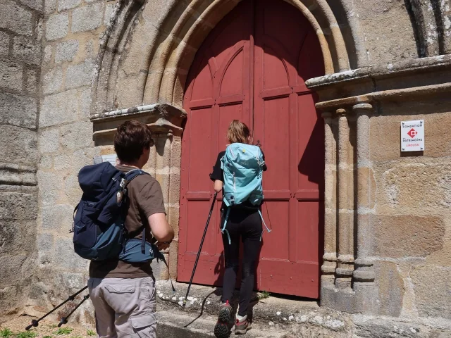
At the gateway to the Plateau de Millevaches, welcome toEymoutiers! A must-visit town for its Romanesque and Gothic collegiate church, home to the most significant collection of ancient stained-glass windows in central France: 16 15th-century windows, adorned with depictions of saints. ⛪️

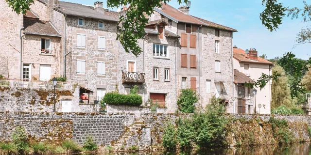
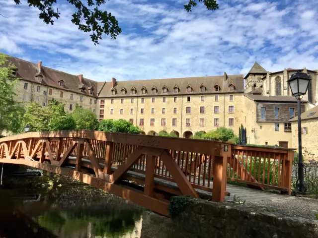
In Eymoutiers, don’t miss the banks of the Vienne with their leisure area, where you’ll discover the old tanners’ houses that brought wealth to the town in the 17th century, recognisable by their half-timbered attics, which were once left open to dry the hides.💦

This will give you a first glimpse of the department’s architectural style, as well as the traditional crafts that are the department’s greatest assets. Haute-Vienne isn’t just about porcelain; it’s also home to a rich leather-working tradition, 12,800 lakes and ponds, and 25 per cent forest cover. 🌳

   Not to be missed:

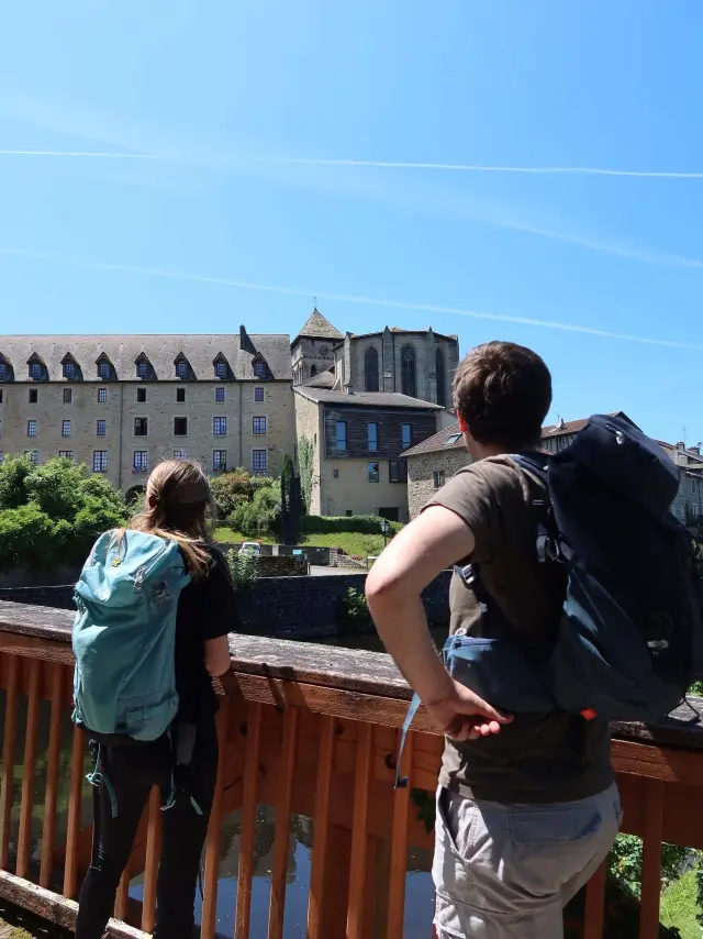
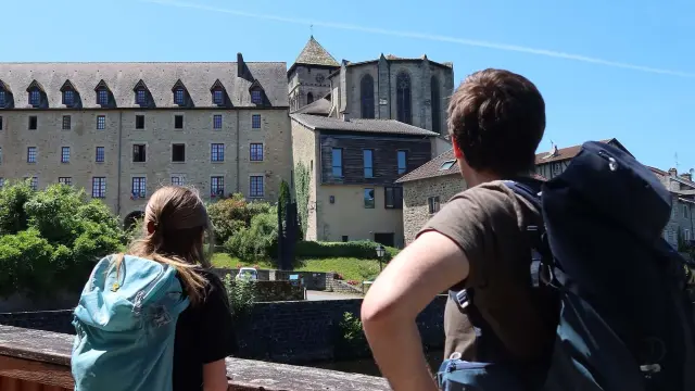
  • The banks of the Vienne and the view of the medieval collegiate church and 17th-century convent complex.
  • The collegiate church and its stained-glass windows.
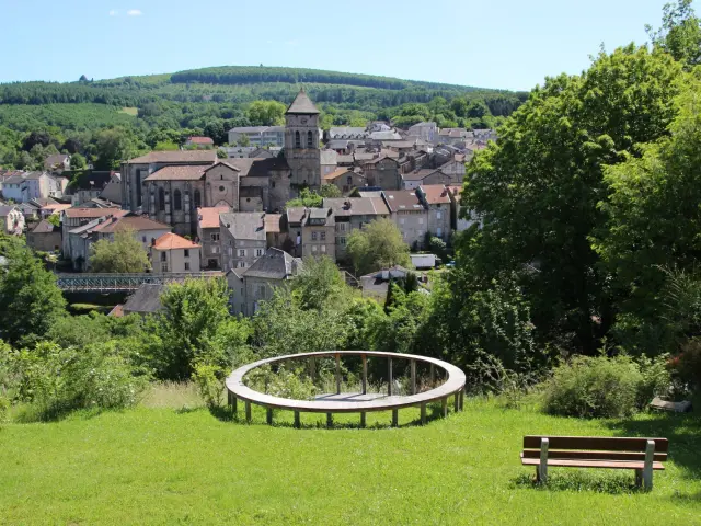
  • The Belvédère and its magnificent view over the town.
  • The Espace Paul Rebeyrolle.
02 Step

Villevaleix

First stop of the day!

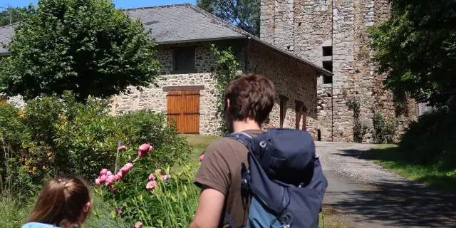
We suggest you stop off at Villevaleix, one of the most remarkable villages on the route. 🥾

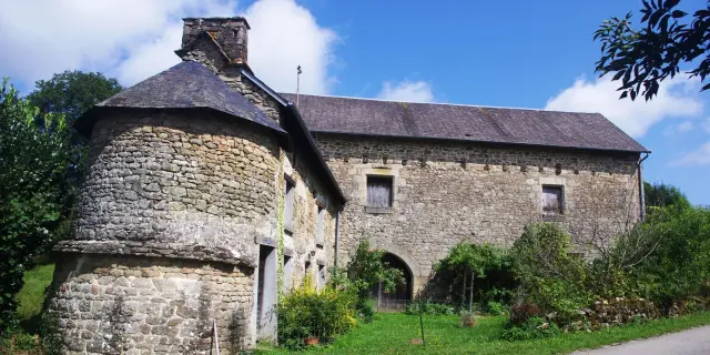
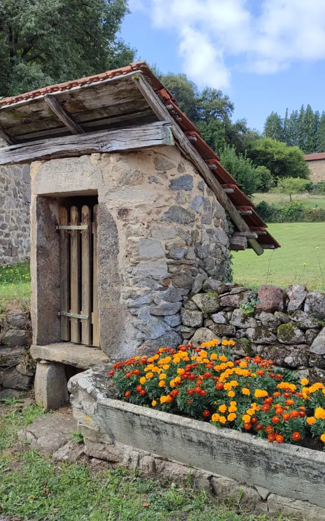
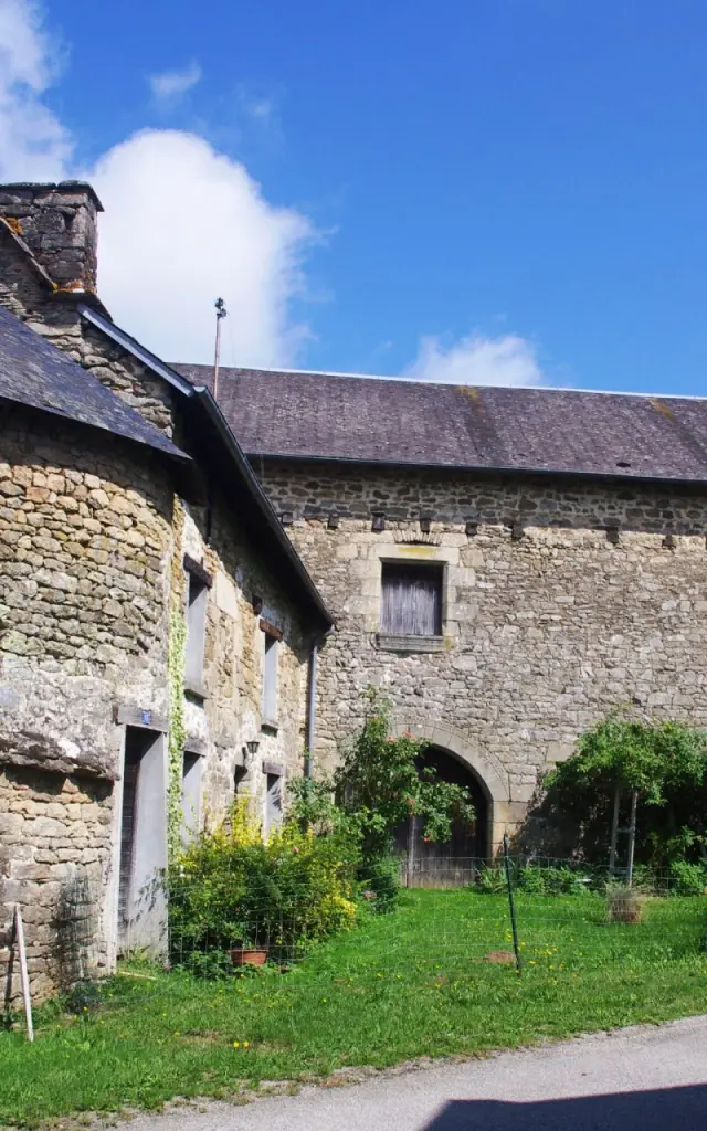
Its well-preserved rural buildings bear witness to the expertise of Limousin farmers in building and adapting architecture to local needs and resources: old barns, pigsties and wells made from local stone line the roads and paths, which here are flanked by low dry-stone walls. 🍃

  Not to be missed:

  • Right next to the GR® trail, the former coaching inn (a historic building with an L-shaped layout and a tower).
  • On the route, on the way out of the village: the former 12th-century nunnery, one of the three churches preserved in the parish (now privately owned and converted into a barn).
03 Step

Sainte-Anne-Saint-Priest

Welcome to the village of the three churches! ⛪️

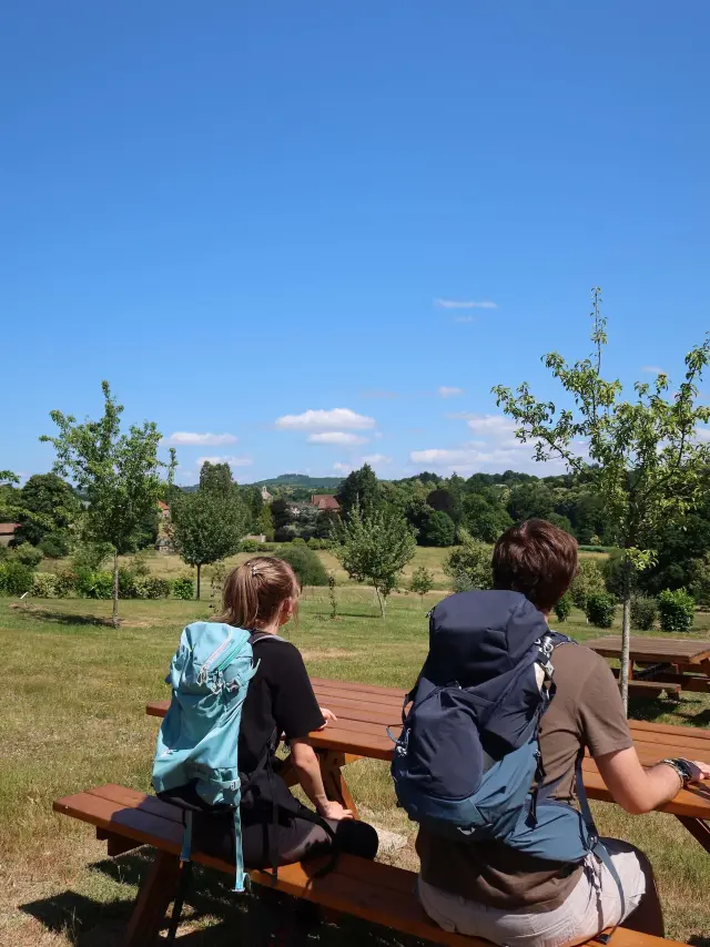
From the hilltop at Sainte-Anne-Saint-Priest, enjoy a breathtaking view of the Châteauneuf Forest and the Mont Gargan.🌳

At the summit stands the former 13th-century Hospitaller commandery, which is one of the three churches in the commune (originating from the three former parishes that became a single commune after the Revolution). It is notable for its richly carved niche (housing a sculpture of the deceased) and for the remains of fortifications preserved on the north side.

Enjoy a well-deserved break after this climb, sitting in the grass, before heading to the lake at Sussac for the fourth stage of the day. 🥾

  Not to be missed:

  • This section of the GR trail passes close to the other two churches in the parish: the former women’s priory at Villevaleix (now a private barn) and the church at Saint-Priest-les-Vergnes (private, not open to the public but still consecrated).
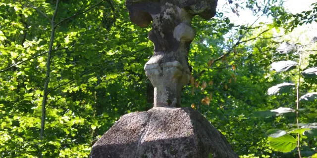
  • An old granite cross just outside the village of Saint-Priest-les-Vergnes, carved with a figure of Christ on the cross.
04 Step

Sussac

Round off your day in Sussac! 🌞

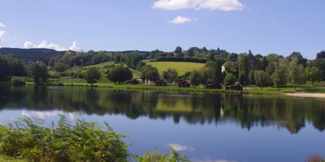
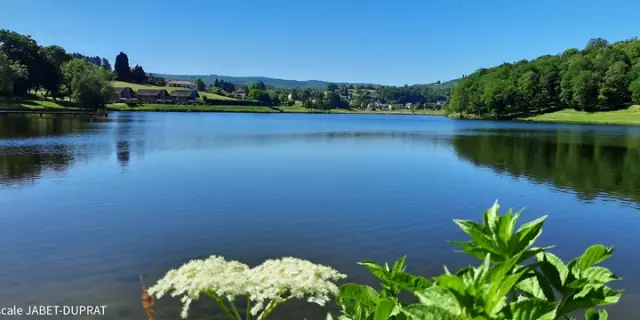
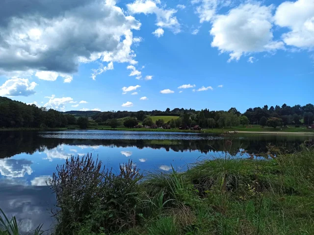
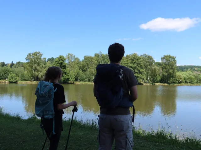
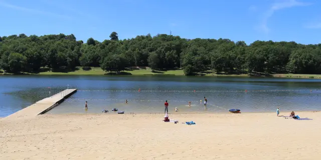
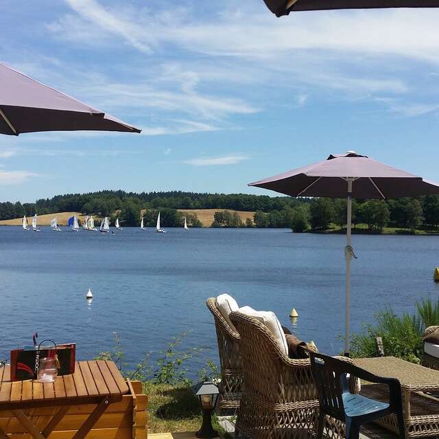
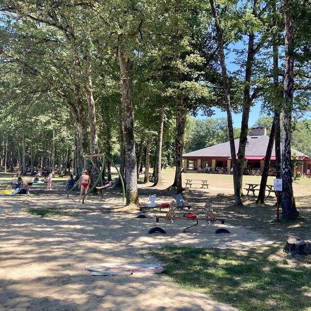
Just 200 metres from the village centre, Sussac’s lake offers a peaceful natural setting. 🌿

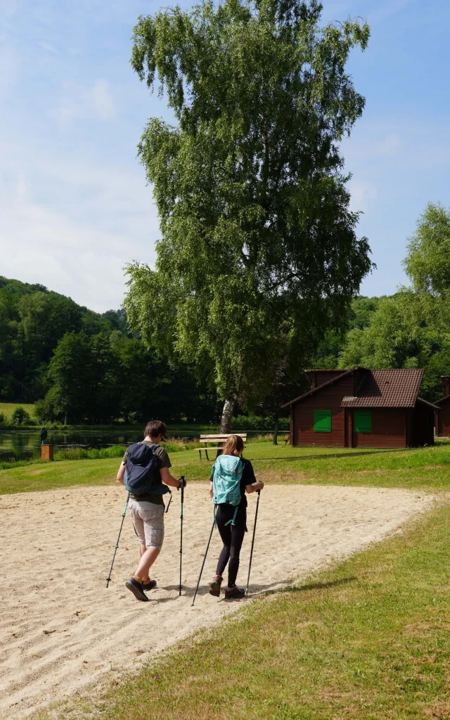
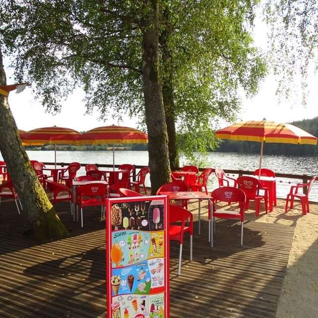
With its sandy beach, supervised swimming in summer, pedalos, children’s playground, mini-golf and sports pitches, it’s a real little haven for leisure activities in the heart of nature. ⛳️⚽️

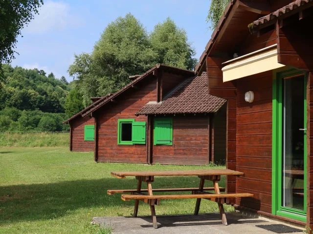
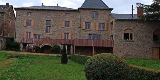
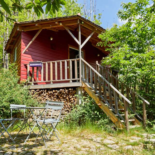
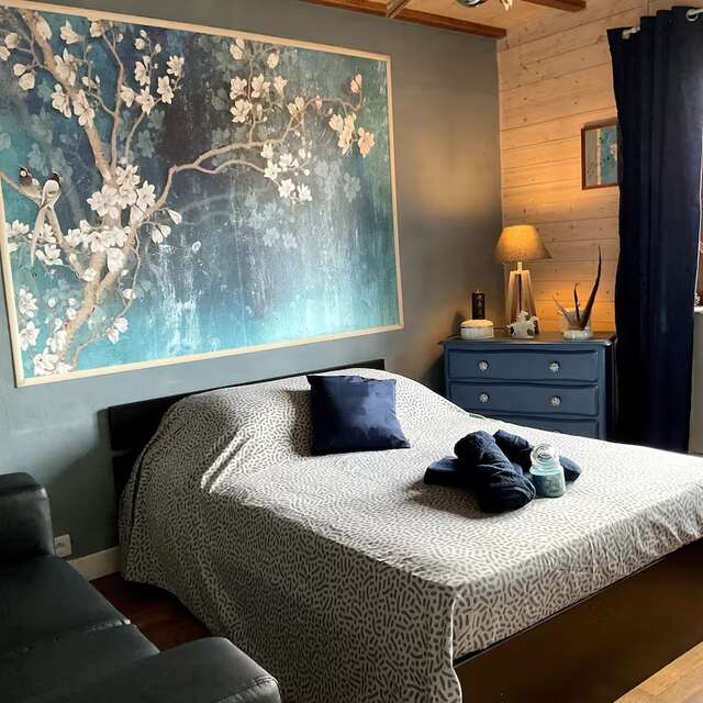
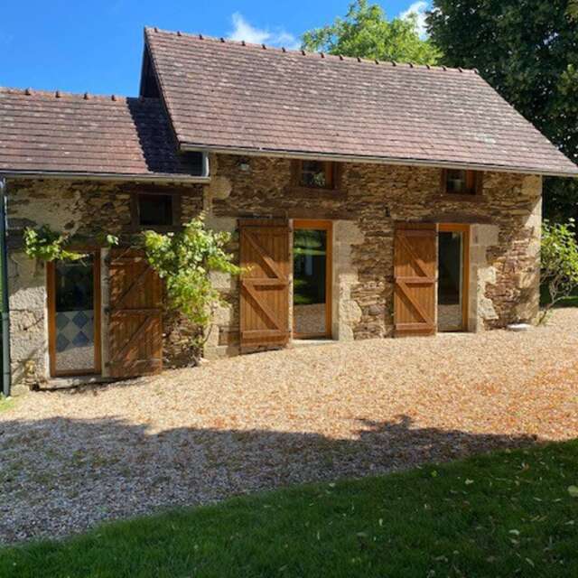
To spend the night, head to the Beauséjour holiday cottages – five self-catering chalets set on a vast lawn overlooking the lake. 👀

Here, you’ll enjoy direct access to the lake’s activities, with the added bonus of waking up by the water’s edge ☀️.

Sussac to Saint-Méard

22.1 km – 5 hours 30 minutes – 595 m elevation gain

Step
01 Step

Sussac

After a gentle wake-up call and breakfast overlooking the lake, here’s a bit of history about the village of Sussac:

Situated on the edge of the Châteauneuf forest, Sussac was a hotbed of the Resistance during the Second World War. 🌿

Protected by this hard-to-reach forest, the maquisards commanded by Colonel Georges Guingouin took decisive action against the occupying forces.

The village was bombed three times before the famous battle of Mont Gargan in July 1944. 💣

It was also near here, at a place called Le Clos, that Violette Szabo, the famous British agent, was parachuted. A commemorative stele has been erected on this very spot in tribute to her commitment. ✨

02 Step

Mont Gargan

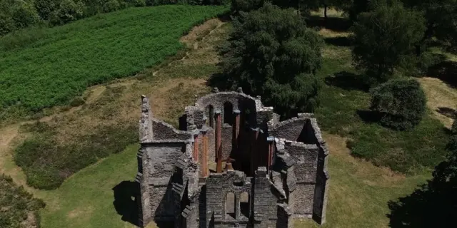
Continue your journey here, where you’ll discover the mythical Mont Gargan, the highest point in the south of the Haute-Vienne at 731 m, which offers an exceptional panorama of the Limousin. 👀

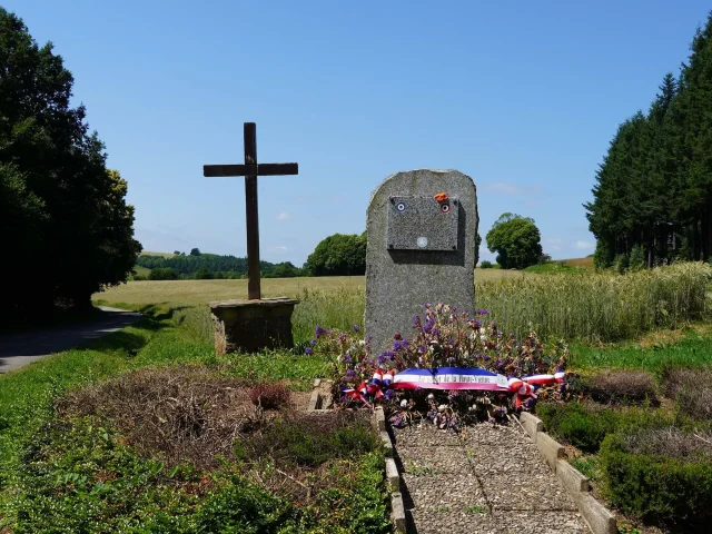
At the summit are the remains of the Notre-Dame de Bon Secours chapel, a devotional fountain steeped in history and a memorial stone!

This emblematic site was also a Mecca for the Resistance during the Second World War: the battle of Mont Gargan in July 1944, one of the few direct confrontations between Guingouin’s maquisards and German troops. 🇫🇷

Today, it is a hiking area steeped in history, combining spirituality, resistance and wild beauty. Why not take a picnic break here? 😋

It’s the perfect place to recharge your batteries in the middle of nature. 🌿

03 Step

La Croisille-sur-Briance

Welcome to La Croisille-sur-Briance, nestling at the gateway to the Millevaches Regional Nature Park. 🌿

Don’t missSaint-Pierre church, its choir dates back to the 11th century and its colourful stained glass windows illuminate the interior with a soft glow. ⛪

A place full of charm and history, to be discovered quietly during your visit. 👀

Just a few kilometres away, you can take a refreshing break at the 2-hectare La Croisille-sur-Briance lake 💦, a real little spot of cool where you can enjoy all sorts of activities: fishing, volleyball, pétanque…

04 Step

Saint-Méard

After a beautiful day, you arrive in Saint-Méard! 🥾

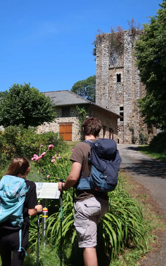
It’s impossible to miss the Echizadour tower, a vestige of the 12th century! With its 1.70 m thick walls of schist and granite, this Romanesque tower impresses with its stature. The interior is empty, but the sculpted lintel still bears the arms of the Echizadour family. 👀 This tower stands on private property. ⚠️

Don’t miss: Saint-Médard church ⛪

Built in the 12th century, this Romanesque church has retained its original porch and the south door decorated with the coat of arms of the lords of Echizadour. Inside: Piéta, Christ on the Cross, ancient liturgical objects and 12th-century tombstones tell of its rich past.

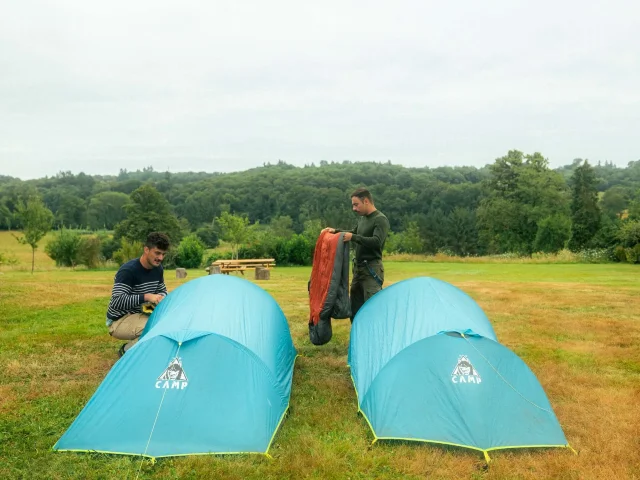
For your overnight stay, head for the bivouac site at Saint-Méard. 🌳🏕️

Located at Le Rouvereau, this area offers free services (shelter, drinking water points, dry toilets, solar shower) and all the comforts you need for a good night’s rest. Picnic tables, a barbecue and recycling bins will allow you to enjoy a convivial moment for your evening meal. 😋

Saint-Méard in Châteauneuf-la-Forêt

18.5 km – 4 hours 45 minutes – 405 m elevation gain

Step
01 Step

Saint-Méard

After a good night’s sleep under the stars at the Saint-Méard campsite, we’re off to the Châteauneuf Forest! 🌳🌠

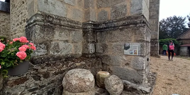
As an optional extra, we suggest a short detour to Saint-Méard Town Hall to see the archaeological artefacts unearthed in the 1970s, centred around the two burial chests on display next to the church.

Otherwise, once you’ve packed your things away, let’s set off for the Châteauneuf Forest to discover its rich history. 🥾🍃

   Useful information about archaeological artefacts: 

These are the first Gallo-Roman burials discovered in Saint-Méard, dating from the early 3rd century. The coins have disappeared, but on display inside the town hall are around thirty terracotta or glass vessels, some intact (a rarity) and others broken.

In archaeology, this is known as a ‘chance find’: the mayor at the time, René Tarse, discovered one of the coffins whilst ploughing (his plough struck the lid)!

02 Step

Châteauneuf Forest

You have now arrived in the Châteauneuf Forest, one of the few forests in the Limousin region that has existed since the Middle Ages.🌳

This forest covers 2,000 hectares between the town of Châteauneuf-la-Forêt and those of Sussac and La Croisille-sur-Briance.🌲🌳

But that is not its only distinctive feature: this dense forest, home to many deciduous trees, was chosen by the Resistance during the Second World War asthe site forthe area’s first maquis, with the establishment of the La Croix-Chevaux hideout, founded by Georges Guingouin (the local maquis leader) and four comrades in March 1943. Having provided shelter for its five founders in March, it subsequently sheltered 150 people in the summer of 1943.

This hideout is of crucial importance as it formed the basis of Georges Guingouin’s maquis, whose actions would lead to the liberation of the area in 1944.

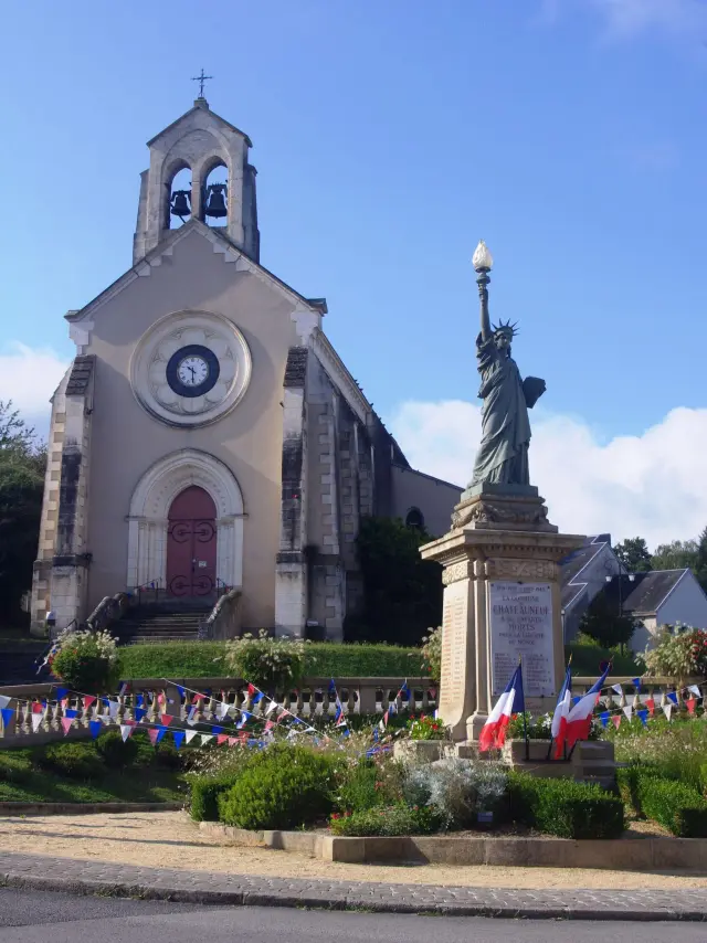
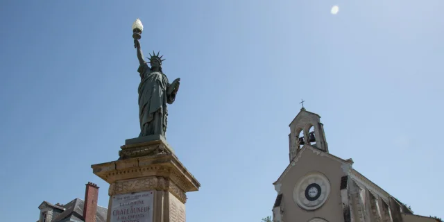
After this very rewarding stop, we head to Châteauneuf-la-Forêt to discover… The Statue of Liberty!🗽

Yes, yes, you’re not dreaming – we’ll tell you more at the next stop!

   Find out more about the Resistance fighters’ hideouts: 

A ‘hideout’ is a small space dug underground to provide shelter, used to hide men – members of the Resistance – from the German occupiers.

Rescued from oblivion and faithfully reconstructed in 2011 by the ANACR and the Briance Combade Tourist Office, on the initiative of the municipality of Châteauneuf, it is open to the public.

03 Step

Châteauneuf-la-Forêt

The final stop of the day brings you to Châteauneuf-la-Forêt.🌳

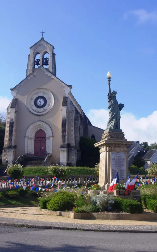
You’ll arrive via the old quarter of Sainte-Marie, which was home to Châteauneuf’s first church: dating back to the Middle Ages, it was destroyed and replaced by the present church, built at the end of the 19th century 600 metres further down, in the village centre.

Next to it, you can see a copy/replica of the Statue of Liberty, which is in fact the War Memorial (only two towns in France have opted for this design).🗽

In the village, you can also stroll through Jane Limousin ’s Park, which features an arboretum with tree species from all over the world and a historic French garden, set beside an 18th–19th-century mansion.

End of the day! Head to the lake at Châteauneuf-la-Forêt for a well-deserved break and to cool off before the next day’s stage. 💦

   Not to be missed 

  • the War Memorial, a rare replica of the Statue of Liberty in New York (1924),
  • the church (late 19th century), with a temporary bell tower that has become permanent due to a lack of funding,
  • the Memorial to the Deportation of the Jews (next to the cinema), created by the sculptor Marc Petit in 2006 in memory of the 40 Jewish victims of the round-up of 6 April 1944,
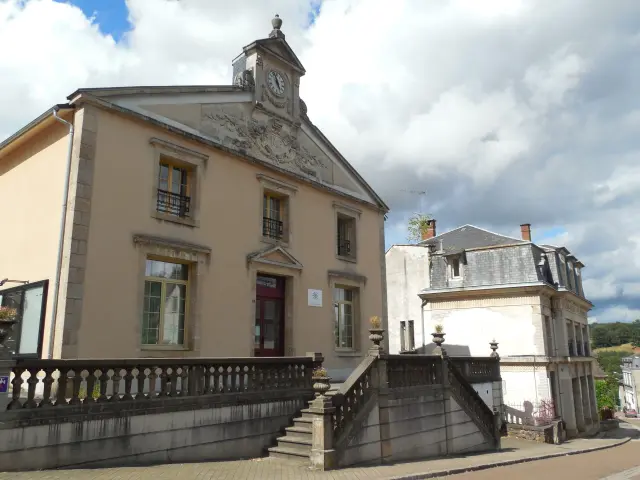
  • the former town hall (late 19th – early 20th century) with a pediment adorned with classical motifs surrounding the initials ‘RF’ (French Republic)
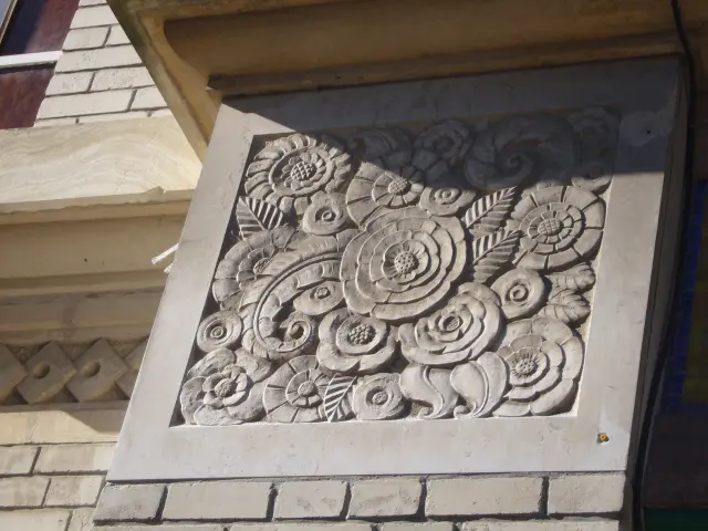
  • the ‘Maison Bariaud’, a shop founded in 1928 by Emile Bariaud in the Art Deco style.

Châteauneuf-la-Forêt in Eymoutiers

14.9 km – 3 hours 45 minutes – 396 m elevation gain

Step
01 Step

Châteauneuf-La-Forêt

You’ve now reached the final day of the GRP© Monts et Barrages between Briance and Combade. 🥾🍃

Starting from Châteauneuf La Forêt, if you didn’t have time the day before, we recommend taking a stroll through the village to admire the various monuments.

Otherwise, let’s set off for the first stop of your day at La Veytisou. 🍃

02 Step

La Veytissou

On this stretch, as you leave Châteauneuf after crossing the Combade, the route climbs to offer views of typical Limousin countryside, as well as small villages such as Ayaux, La Veytisou and Golas. 🍃

We recommend stopping off at the village of La Veytisou. 🏡

You’ll pass the former Line 4 of the departmental electric tramway, which linked Limoges to Peyrat-le-Château between 1912 and 1949, complementing the railway (the Limoges–Eymoutiers line, opened in 1881).

This old line has left behind a little-known heritage: the tram stations, some of which have been preserved in their original state, others converted into homes, and some destroyed.

Once you’ve finished exploring this little village, head to Eymoutiers for the final stop on your itinerary. 🥾

03 Step

Eymoutiers

You’re now back at your starting point on the GRP© Monts et Barrages trail between Briance and Combade. This short stage gives you time to head up into the hills around Eymoutiers and discover some of its heritage sites, which are a little less well-known than those on Day 1. 🍃

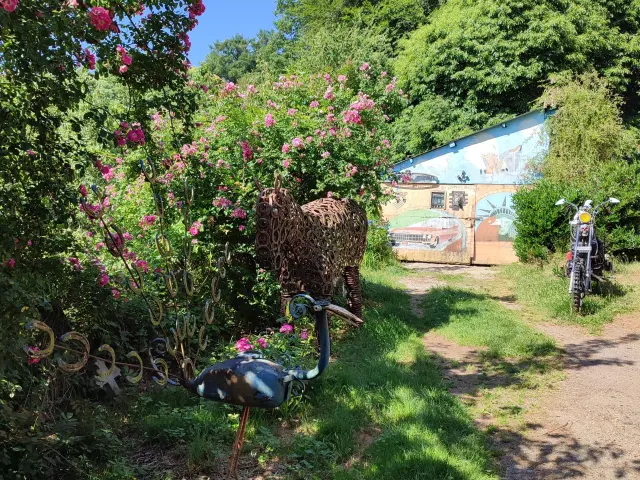
Before you arrive in Eymoutiers, do visit the Musée de la Récup (at a place called Les Communaux) and its original artworks. The artist, Dominique Peynoche, created the statue of the tanner in 2025, which stands in the small square at the end of Rue des Tanneries, just before the Pont de Peyrat.

Nearby: upstream from Eymoutiers, the Bussy-Varache viaduct was sabotaged by the Resistance on 13 March 1944: the destruction of one arch prevented a convoy bound for the Compulsory Labour Service in Germany from setting off. This arch was not rebuilt until after the war.

We hope you’ve enjoyed this walk along the GRP© Monts et Barrages trail between Briance and Combade. 🍃

  Not to be missed:

  • Stunning views of the town from the contemporary art installation ‘Plateforme’ (Boulevard Emile Zola),
  • The only surviving tanners’ pit (private garden visible from the Chemin des Sources, to the right of the wash house),
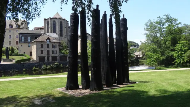
  • ‘L’infini suspendu’, a work by Christian Lapie on the banks of the Vienne, commemorating the Resistance.

We like

Eymoutiers, Little City of Character

Eymoutiers, a hidden gem in Limousin ! 🌿

With its charming narrow streets, contemporary art and nature stretching as far as the eye can see, it’s easy to fall under its spell. 🤩

All this, just a stone’s throw from Lac de Vassivière and on the edge of the Millevaches plateau… Sounds tempting, doesn’t it? 😉

Sainte Anne, Saint Priest

The hill of Sainte-Anne and its magnificent view 🤩

Not to mention the unusual fact that there are three churches in such a small village!

The Mont Gargan

The Mont Gargan, in the heart of the Millevaches Regional Nature Park, is a natural and historical gem! 🍃

An easily accessible natural site offering exceptional panoramic views of the Millevaches plateau and the Monédières massif 👀

A site steeped in history, a place of remembrance for the Resistance.

The Monts et Barrages Regional Hiking Trail

The GR® de Pays ‘Monts et Barrages’ in the Limousin offers a 177-km loop taking in nature, panoramic views and charming villages, to be explored over 9 days.

You have just explored the Eymoutiers variant of this GR® de Pays trail, featuring the 76 km loop between Briance and Combade, which can be completed in 4 days.

From Mont Gargan, Eymoutiers and the resistance fighters’ hideouts, this route will introduce you to the must-see sights of south-eastern Haute-Vienne, as well as its history and remembrance. 👀

So, are you ready to lace up your walking shoes? 🥾

Watch the video of the Combade Briance loop!

Still not sure whether to put on your walking boots?

Set off to explore this variant of the GR® de Pays Monts et Barrages in Limousin, through the lens of Carnet de Rando!

During this video tour along the Combade-Briance loop, follow the route as it winds its way through lush green valleys, peaceful waterways and remarkable heritage sites. From Eymoutiers to Sainte-Anne-Saint-Priest, this feature offers a vivid glimpse of the unspoilt landscapes of the ‘ Limousin ’, on the edge of the Millevaches Regional Nature Park.

A lovely visual taster to get you in the mood for your next walking trip! 🥾

I prepare