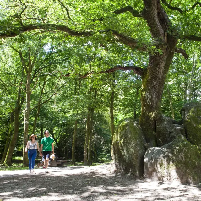
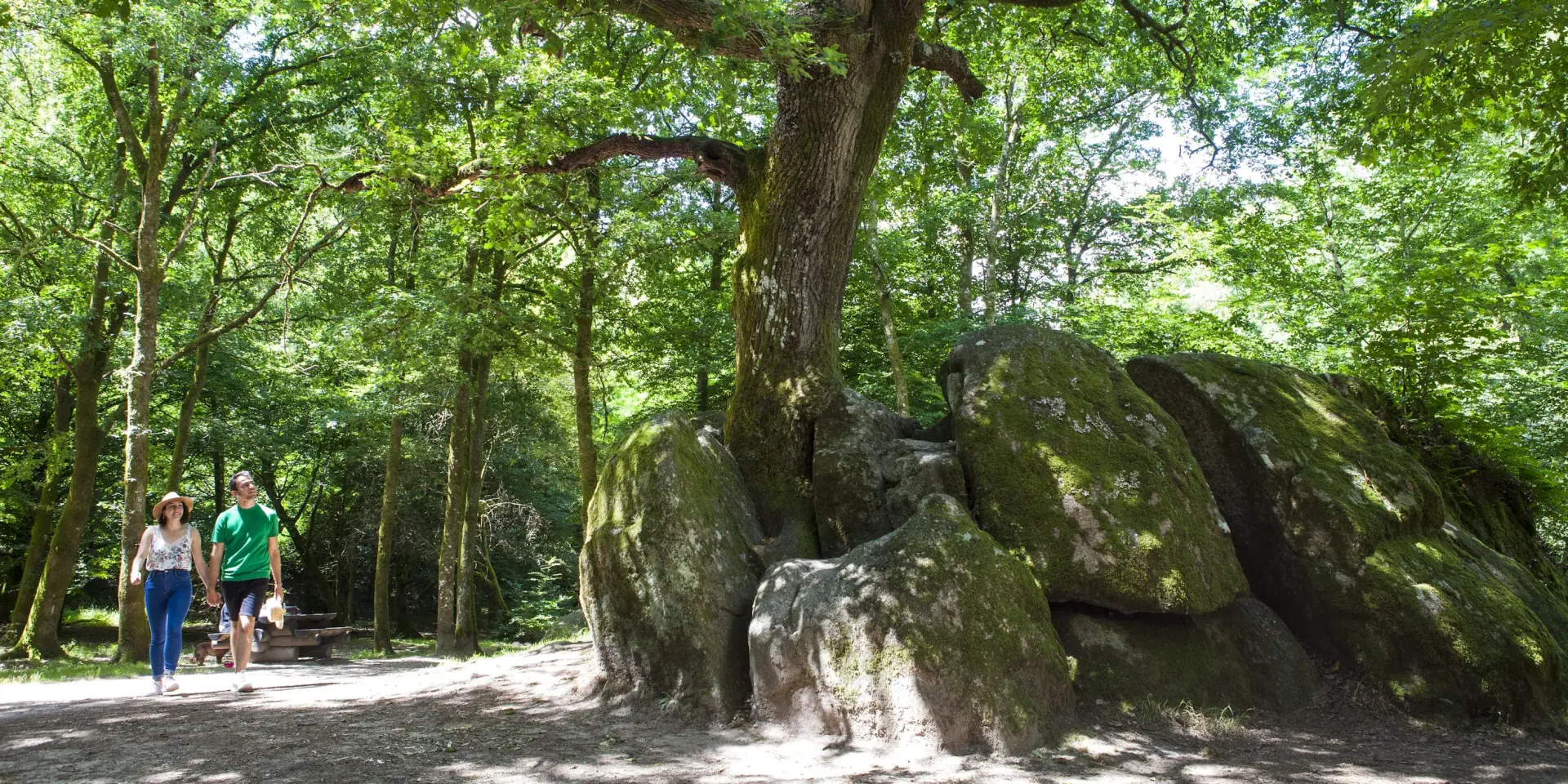
©Hiking in the Haute Vienne at the Site Corot in Saint Junien, Porte Du Pnr Perigord Limousin|©Philippe Laurençon - LIMOUSIN nouveaux horizons
Connected hiking in LimousinExplore the trails of the Haute-Vienne guided by your smartphone

Take a Limousin walk with your smartphone

Hiking in Haute-Vienne has never been easier. 🥾 Interactive map, GPX tracks, hiking apps: everything you need to explore the Limousin in complete freedom. 🤳 Download your routes onto your smartphone, use your favourite app and enjoy a GPS-guided hike in the heart of the Limousin and the Millevaches and Périgord-Limousin regional nature parks. 🍃

Choosing your hike
in Haute-Vienne

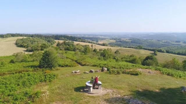
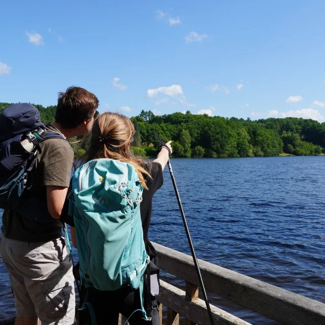
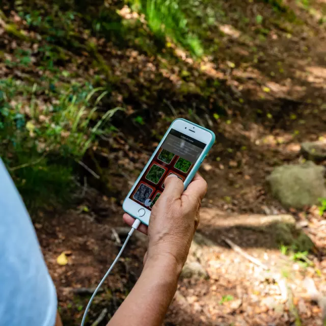
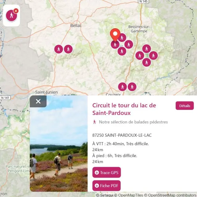
Use the interactive map 🗺️ to explore almost 500 walking routes in Haute-Vienne and find your next nature getaway. All the signposted routes 🥾 in the area are classified by type of activity, duration and difficulty.

It’s the ideal way to organise a GPS-guided hike and set off with a clear head. In just a few clicks, you can choose your route and take full advantage of the Limousin landscapes. 🦋

DID YOU KNOW?
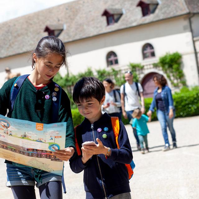
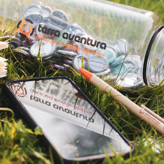
Fancy a fun outing with the kids? Try the Explor Games® and Terra Aventura applications and turn your family outings into real outdoor treasure hunts. 👨‍👩‍👦

Guided walk
with Cirkwi

With the Cirkwi hiking app, hiking in Limousin becomes intuitive. Follow your route directly on your smartphone thanks to GPS guidance, even offline.

It’s the ideal free way to discover the Haute-Vienne on foot. No more need for a paper map: your phone becomes your guide. 🧭

Download GPX tracks and use your favourite apps

Already using your favourite hiking app? Download a GPX trail directly from our website or the interactive map of Haute-Vienne. 📂

Compatible with Komoot, Visorando, AllTrails, Outdooractive, Géovélo, GPX Viewer, Google Maps and many other applications, this solution lets you hike in Limousin with the tool you know! 🤳

Not sure where to start? Here are our favourite walks: ⤵️

Practical info

Why hike with your smartphone?

With a hiking app, your smartphone becomes a reliable walking companion, whether on foot, by bike or mountain bike.

GPS-guided hiking can take you anywhere in Limousin, in complete autonomy, even in the wildest parts of the Haute-Vienne, thanks to offline consultation.

But paper fans won’t be forgotten: you can still download the topoguides free of charge.

Were you using the LOOPI application?

The routes are no longer available on LOOPI, but hiking in Haute-Vienne continues.

Interactive map, Cirkwi app and GPX track downloads: simple solutions for hiking with your smartphone in Limousin, while being guided by GPS.