Carto Guide Haute Vienne OsmCarto Guide Haute Vienne Osm
©Carto Guide Haute Vienne Osm
A cartographic tool to welcome tourists

New OpenStreetMap interactive departmental mapping

Create a digital tool capable of presenting tourist offers, practical information, services for the general public and low-carbon modes of transport. All in a free web interface (paid for by the SPL) that can be used and shared by as many people as possible.

Improve understanding of the tourism offer

The departmental marketing plan recommends in axes 2 and 4 to work on the development of sustainable tourism approaches and on the access and understanding of offers.

Consequently, SPL Terres de Limousin would like to :

  • create a CartoGuide tool (to be used in preparation for a stay / and during a stay, to provide information to visitors / residents), bringing together all the Haute-Vienne’s tourism offerings from the SIRTAQUI database, in order to make them easily accessible to as many people as possible.
  • set up an approach for contributing to and promoting the region’s data, based on the OpenStreetMap (OSM) ecosystem. This “data project” dimension revolves around the OpenStreetMap database, which can be used to complement the Tourist Information System.
  • seeks to “own” the solution, so as not to be “dependent” on a service provider or website publisher in the long term.
  • increase use of the brand’s website, and indirectly of SIRTAQUI data.

A local animation dimension to gradually build the data project with local partners (local authorities, delegates, associations…).

TERITORIO, an OSM mapping specialist, is supporting the departmental tourism collective in the deployment of the mapping tool and the OSM data project. Many thanks to Stéphane Branquart and Vincent Bergot for sharing their experience and for their presence.
Introduction to cartography...

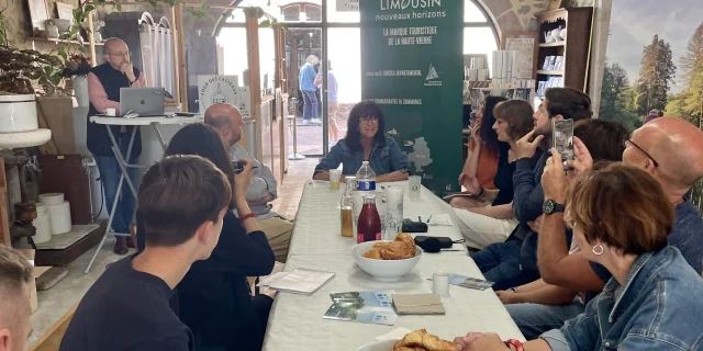
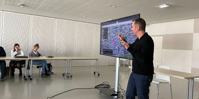
... at the press conference on June 24, 2024

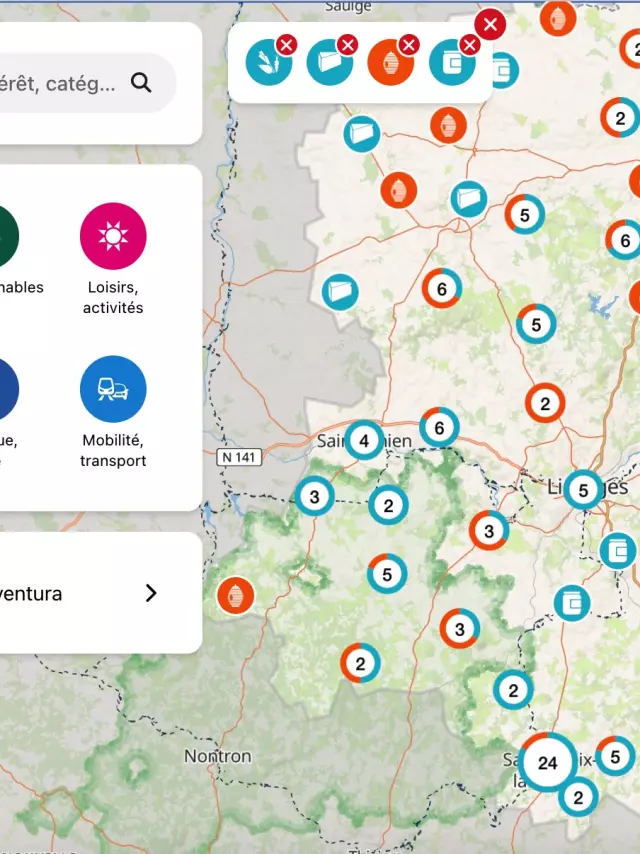
Presentation of the map at the press conference held on June 24 at the Four des Casseaux in Limoges.

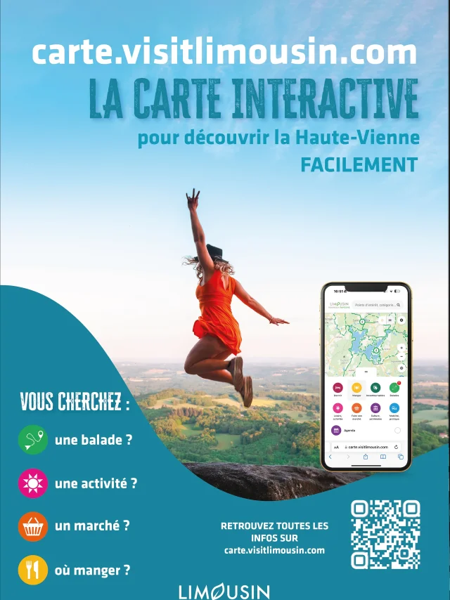
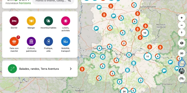
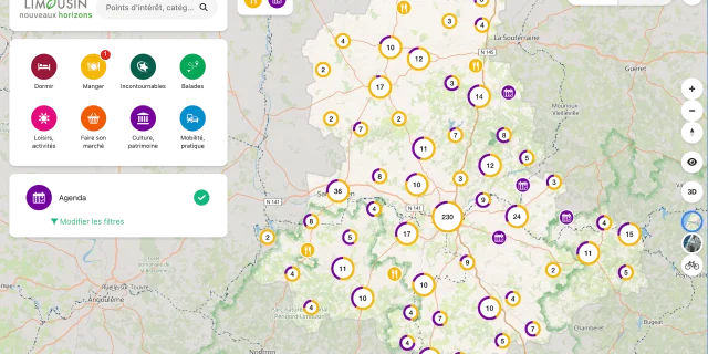
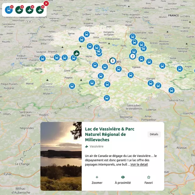
  • An interactive map designed to help tourists discover and explore Haute-Vienne more effectively.
  • A must-have for holidaymakers before or during their stay, it brings together on a single map: walks, tourist attractions, diary, restaurants, etc.
  • It’s the geographical search engine for easy discovery of the département.
  • Why a map? To better understand the wealth of local tourism and simplify access to and sharing of tourist information.
  • Who is it for? Tourists, tourist offices, tourism professionals, socio-professionals, local authorities, businesses looking to set up… and local residents.
  • This collaborative digital map was created using data from the SIRTAQUI departmental tourism database (2,500 points of interest*) and the OpenStreetMap database, a collaborative online mapping service.
  • Built in conjunction with local players such as the Gîtes de France departmental relay, tourist offices, the Saint-Pardoux lake resort, the 87 fishing federation, the Pays de Nexon Monts de Châlus community of communes and the Haute-Vienne departmental council.

Examples of use:

  1. I’m planning my next vacation, exploring the area; I want to know what’s out there…
  2. I’m on holiday and looking for one or more pieces of information…
  3. I’m an accommodation provider, restaurant owner, etc. I’d like to give visual advice…
  4. At the tourist office, on a screen at the reception desk, on a touch screen or TV, as a poster, QR code, on a tablet…
  5. Displayed in the breakfast room of a guest house
  6. On the websites of service providers and tourism professionals in Haute-Vienne, via a link.

To access the map: carte.visitlimousin.com

Also accessible from the brand’s website: www.visitlimousin.com

Available on web / mobile, without application.

Second project meeting in April 2024

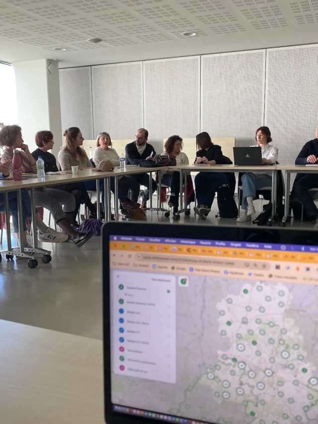
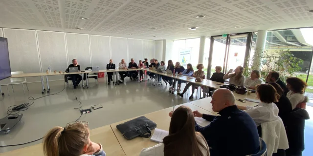
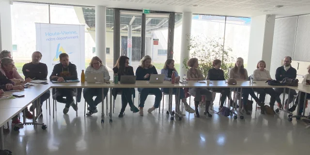
Second meeting to launch the project on April 9, 2024 at the Conseil Départemental.

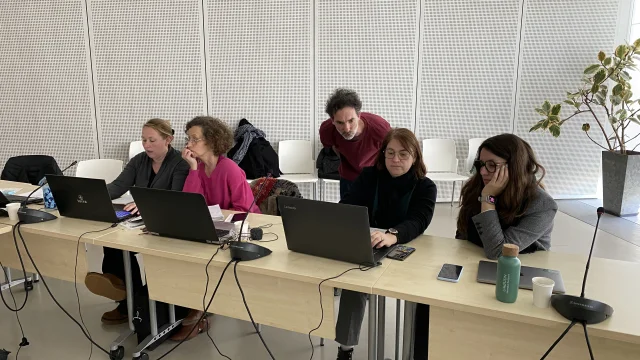
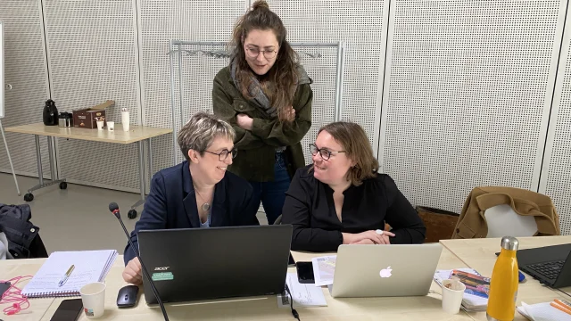
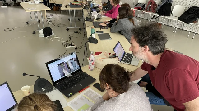
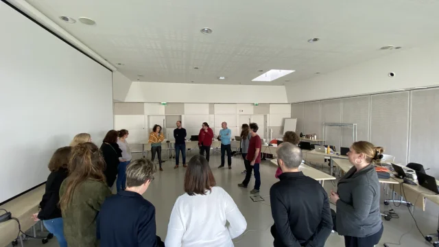
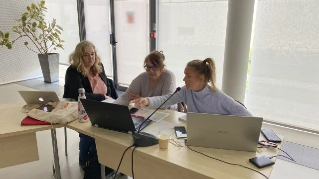
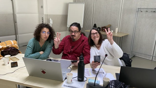
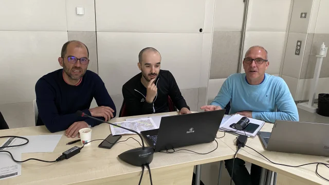
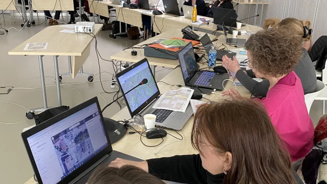
A new training, practice and reflection meeting took place in Limoges with Vincent Bergeot from Teritorio, who came to lead the Open Street Map (OSM) training meeting and collaborative project management.

The aim of the day? To get our participants to think about the project: how and who will collect the data, manage OSM in the region and set up a steering committee in the département?

Guests present: Offices de Tourisme Briance Sud Haute-Vienne, Ouest Limousin, POL Tourisme, Noblat, Monts du Limousin, Haut Limousin, Porte de Vassivière, Pays de Saint-Yrieix, Conseil Départemental de la Haute-Vienne and its hiking/PDIPR service, Communauté de communes Pays de Nexon Monts de Châlus, Lac de Saint-Pardoux, PNR de Millevaches, Voie Verte des Hauts de Tardoire

The meeting took place in 2 parts:

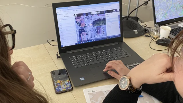
  • in the morning: OpenStreetMap, what are we talking about? and a field trip (paper and telephone) and return to the room to learn how to contribute
  • In the afternoon: Contributing to which data (which OSM options to choose from), who will collect the data? Who will be responsible for data collection? Who’s going to lead the OSM process in the region? Setting up an OSM Haute-Vienne technical committee.

In short: we’ve all become contributors and are ready to start improving OSM data. We’re at the dawn of an ambitious project to build up a local community of contributors for the needs of tourists, as a priority, but also to qualify data useful to local residents in their daily lives.

Coming out in May: version 1 of the departmental cartoguide, most of which will be fed by the SIRTAQUI database. We look forward to seeing you in May to use our future shared interactive departmental cartography.

Project launch meeting in March 2024

First meeting to launch the project on March 7, 2024 at the Conseil Départemental offices.

Invited guests: all the Tourist Offices, the Conseil Départemental de la Haute-Vienne and its hiking/PDIPR service, the Lac de Saint-Pardoux, the PNR de Millevaches, the Comité Départemental de la randonnée pédestre, the Voie Verte des Hauts de Tardoire, the Fédération départementale de la pêche, the PETR Monts et Barrages and the Association des Gîtes de France Haute-Vienne.

The meeting was divided into 2 parts:

  • Presentation of the new departmental interactive digital map, which will bring together the entire Haute-Vienne tourism offering,
  • Presentation of the collective contribution project. Explanation of OSM culture and tools.
  • Appointment made for OSM training on April 9 for a departmental working group.

The interactive cartography project is therefore based on 2 distinct and complementary phases: creating the tool (phase 1) and creating a community of OSM contributors (phase 2) to inject datasets into the cartoguide, which will be filled in only in OSM.

In 2024, the cartoguide will be fed mainly by the SIRTAQUI database. It will be presented in April 2024.

Your contact

Close