- 1Three streams path in Limoges
- 2Sentier de la Vierge (Virgin's Path) at Condat-sur-Vienne
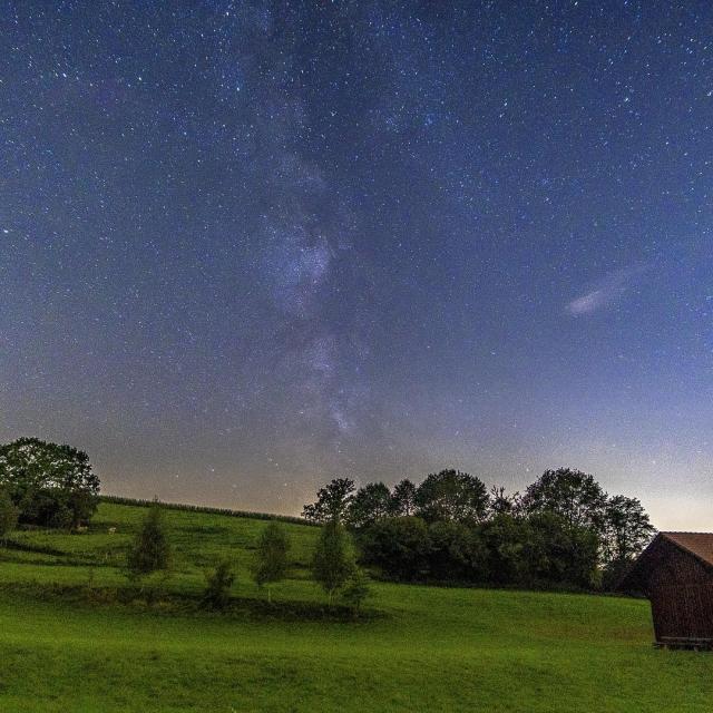
- 3Full sky trail at Bosmie-l'Aiguille
- 4Bastide-Uzurat path in Limoges
- 5The Biche trail in Feytiat
- 6Circuit des bords d'Auzette
- 7Moulin Chabrou trail in Rilhac Rancon
- 8The Porcelain Loop in Limoges
- 9Circuit de la Colline Catalacoise in Chaptelat
- 10Gascour trail in Boisseuil
Top 10 walksless than 15 minutes from Limoges
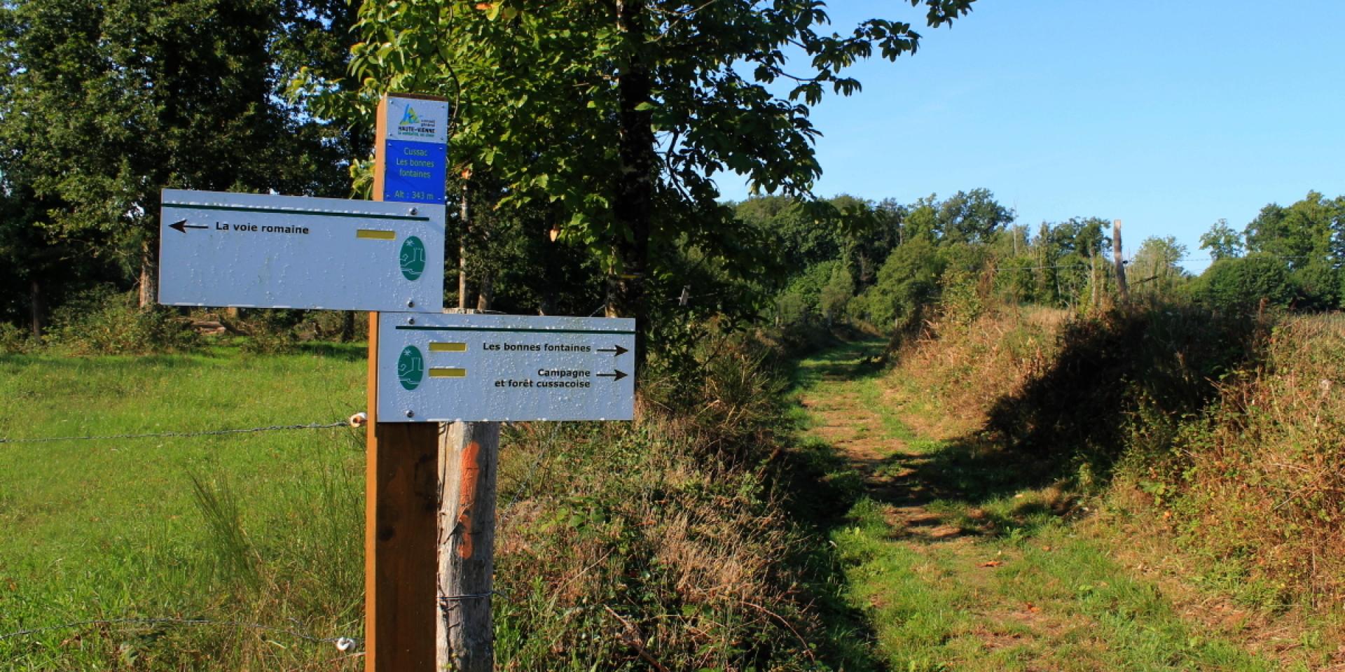
Circuit des trois ruisseaux
in LimogesHiking features: Yellow markings, duration on foot 3h30 Length 15 km, altitude difference 115 m.
Accessible on foot and mountain bike.
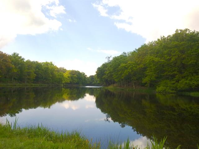
In Limoges, enjoy a nature break on the outskirts of the city. Discover the Landouge district, the banks of the Aurence and the Vaseix forest.
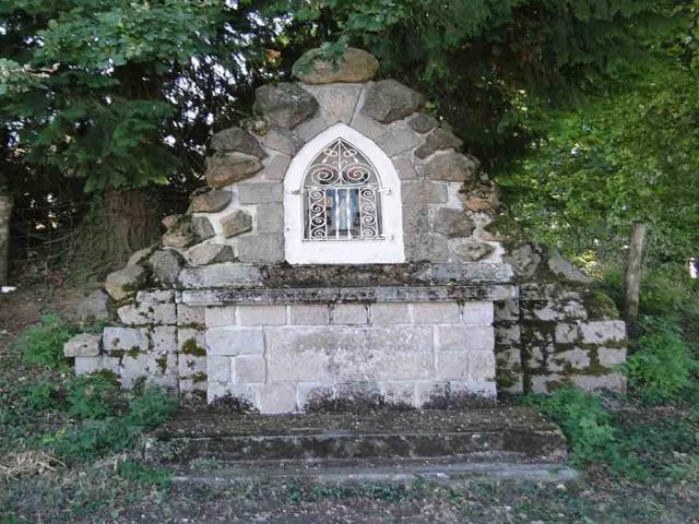
Le Sentier de la Vierge
in Condat-sur-VienneHiking features: Yellow markings, walking time 2h00, Length 8 km, Vertical rise 150 m.
Accessible on foot and mountain bike.
Le sentier de la Vierge in Condat-sur-Vienne, 10 minutes from Limoges. A walk that takes you along the banks of the Vienne. Along the way, you can see the Château at Chez-le-Rat, where Guillaume Dupuytren spent his childhood, and the Vierge rock.
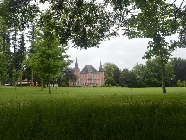
Sentier de plein ciel
in Bosmie L'aiguilleHiking trail features: Yellow markings, walking time 2h40, length 10.5km, altitude difference 193 m.
Accessible on foot, mountain bike and horseback.
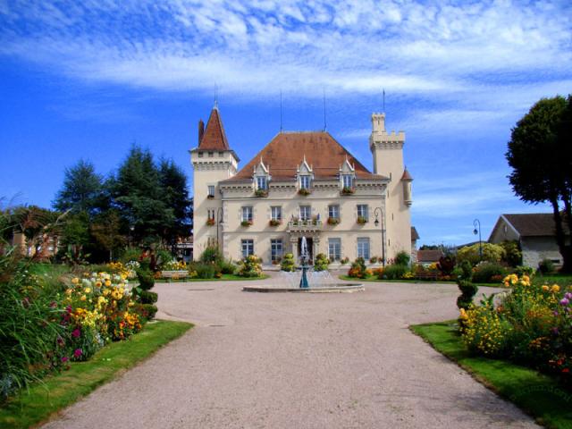
This trail from Bosmie-l’Aiguille takes you to the Boucheron park. This 7-hectare park features an arboretum, an orange grove and a 19th-century château. The route offers numerous viewpoints over Bosmie and the surrounding countryside.
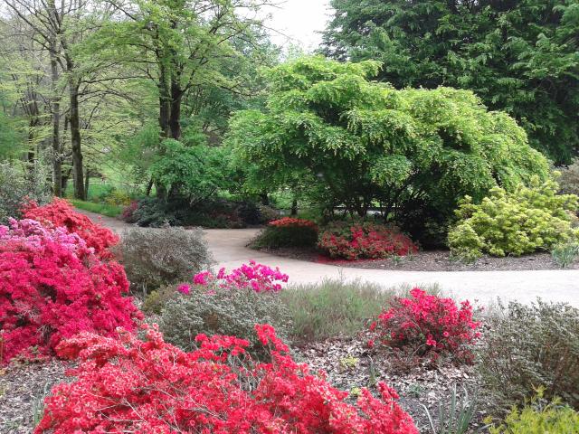
Bastide-Uzurat trail
in LimogesHike features: Yellow markings, walking time 2h00, length 8.2 km.
Accessible on foot and mountain bike.
Enjoy a walk in the heart of the Bois de la Bastide in Limoges. Considered the city’s green lung, this area offers a number of different walks to suit all tastes. Stroll along the banks of the Aurence at the Moulin et Pinard and walk around the Uzurat artificial lake with its children’s playground.
Hind trail
in FeytiatHiking features: Yellow markings, walking time 1h40, Length 6.7km, Vertical rise 25 m.
Accessible on foot and mountain bike.
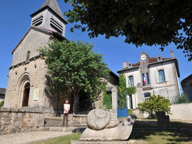
In the commune of Feytiat, just a few kilometers from Limoges, you start the circuit at the foot of the 12th-century church. The route is half urban and half in the Feytiat countryside, with a ridge path offering views over the town.
Circuit des bords d'Auzette
in PanazolHike features: Yellow markings, walking time 1h05, Length 4.5km, Vertical rise 110 m.
Accessible on foot, mountain bike and horseback.
The Auzette valley at Panazol is a veritable green corridor to the south of Limoges. There are several trails upstream and downstream to the Vienne river. If you wish, you can continue your walk along the Vienne to the Porcelain Loop trail in Limoges.
Chabrou mill trail
in Rilhac RanconHiking trail features: yellow markings, walking time 2h15, length 8.5 km.
Accessible on foot, mountain bike and horseback.
North of Limoges, discover the Chabrou mill trail in Rilhac-Rancon. The trail takes you through hamlets, streams, ponds and the Limousin bocage landscape. The Bride’s Way variant takes you along the historic path that processions used to take towards the village church. It offers a view of the old village of Rilhac.
Porcelain buckle and ponticaud lunch
in LimogesHiking features: Yellow markings, walking time 2h20, Length 9.3 km, Vertical rise 30 m.
Accessible hikes: on foot.
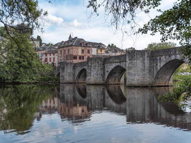
The Porcelaine loop takes you along the banks of the Vienne and the Pont Saint-Etienne district. The circuit offers panoramic views of the cathedral district and the gardens of the Evêché.
Circuit de la colline catalacoise
in ChaptelatHiking features: Yellow markings, duration on foot 4h30, length 18km, elevation gain 300 m.
Accessible on foot, mountain bike and horseback.
Enjoy a hike in the Limousin countryside just a few kilometers from Limoges. Departing from Chaptelat, the circuit offers a wide range of views and landscapes, from forests to lakes.
10. Gascour path
in BoisseuilHike features: Yellow markings, walking time 2h40 Length 10.5km, Vertical rise 53 m.
Accessible on foot and mountain bike.
The Gascour trail allows you to discover the commune of Boisseuil, its 11th-century church and old quarters.