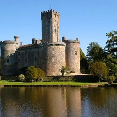
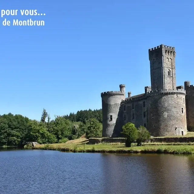
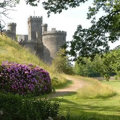
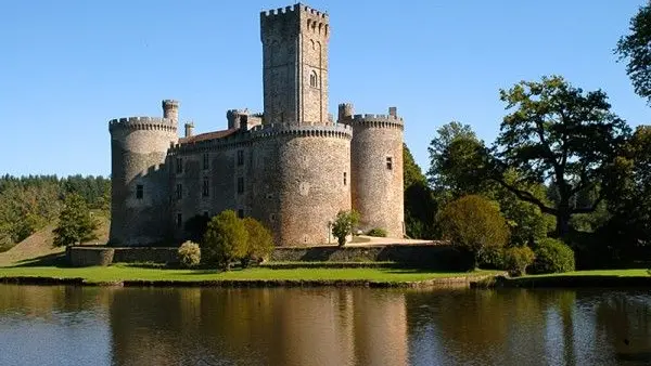
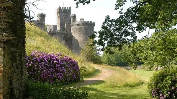
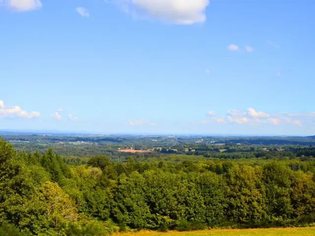
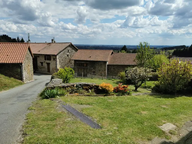
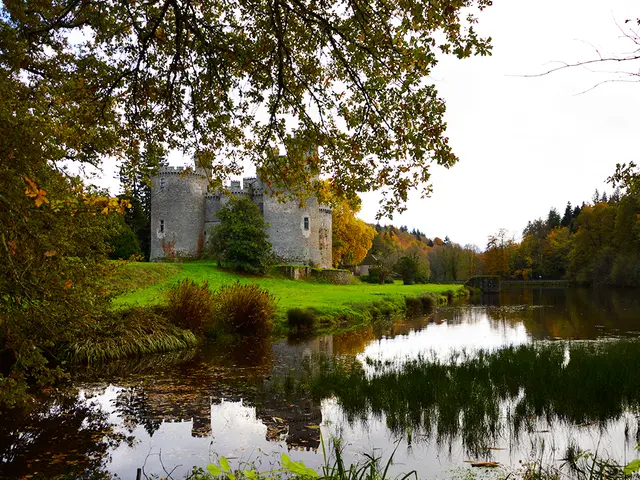
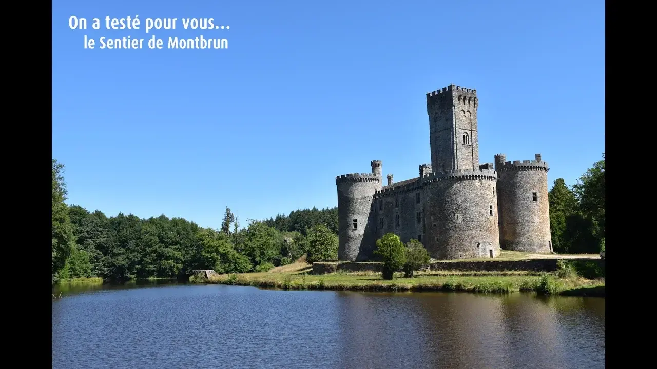
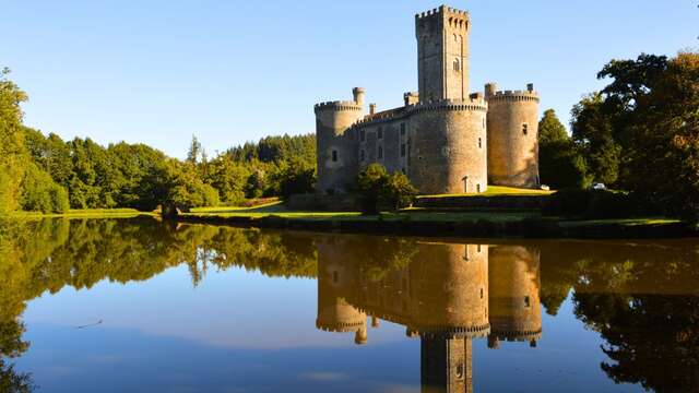
The Montbrun trail lies to the north of the commune of Dournazac (the capital of the chestnut, a veritable emblem of the former Limousin region). It takes hikers to the highest point in the south-western part of the department: the Grand Puyconnieux (a place of interest for flora and fauna). It has long been a popular destination, offering exceptional views over a vast area of the Haute-Vienne and Charente departments. Admire the 15th-century Château de Montbrun, one of the finest castles on the Richard C?ur de Lion Route. A 16 km walk of moderate difficulty.