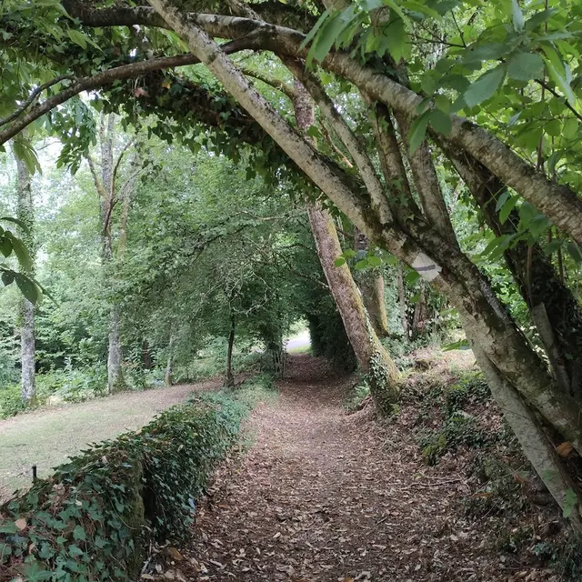
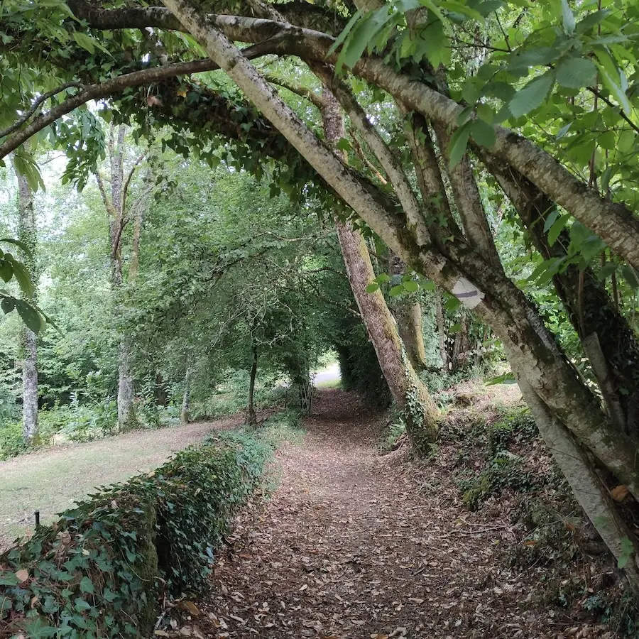
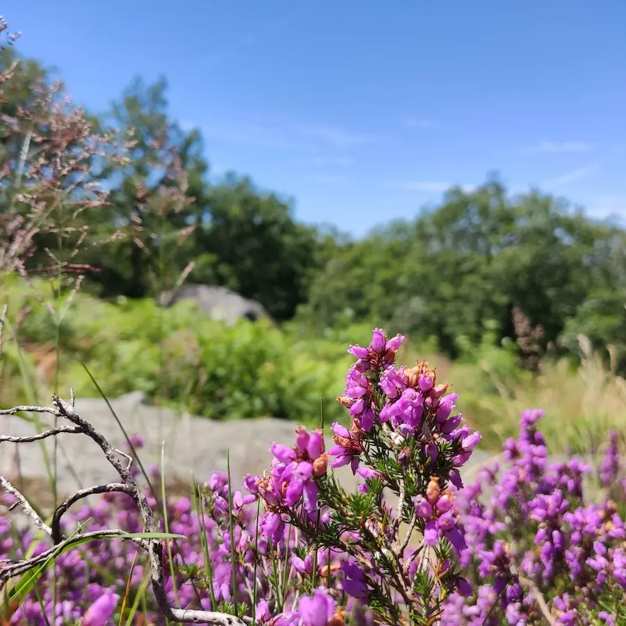
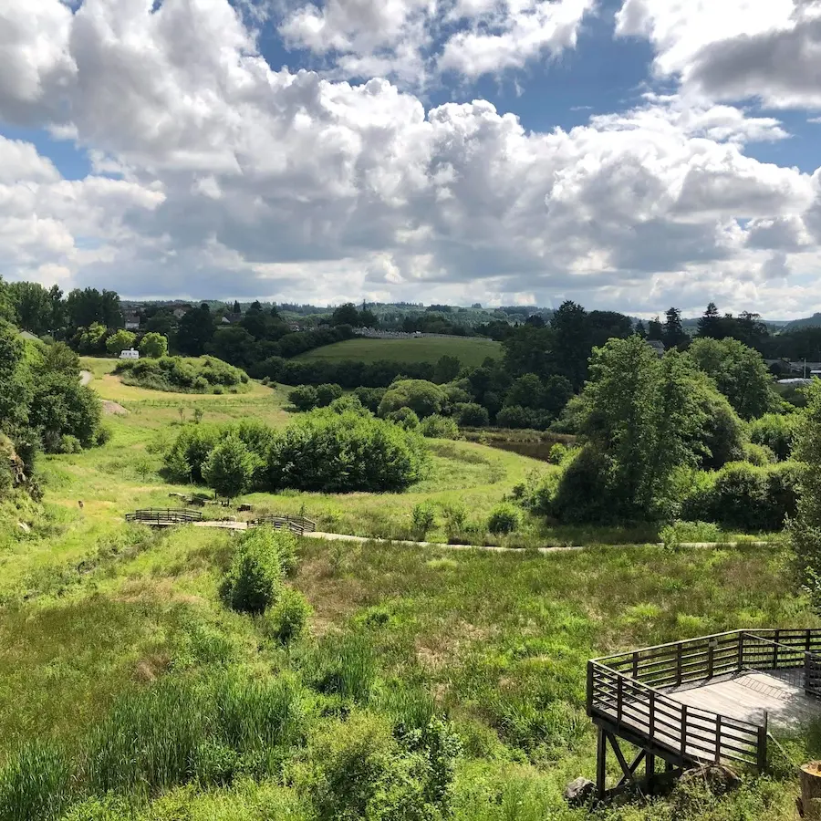
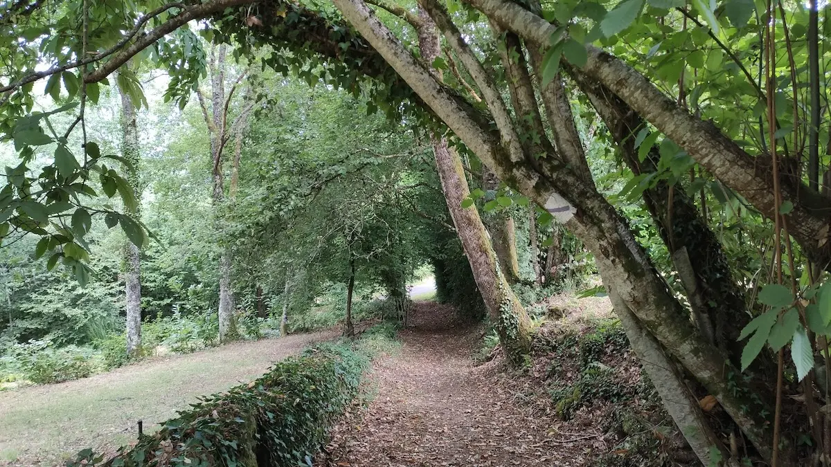
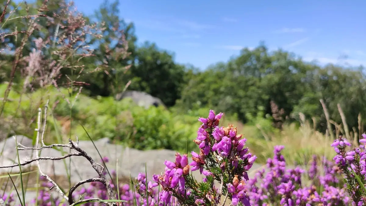
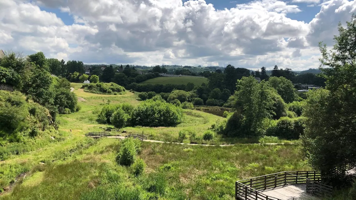
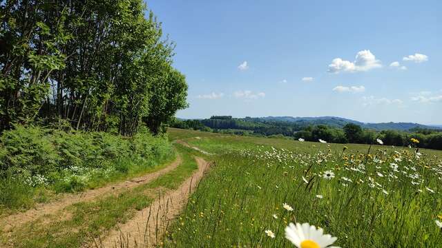
GRP®Monts et Barrages en Limousin - Etape 2 - De Bujaleuf à Saint-Julien-le-PetitYou gradually leave the landscape of Noblat, consisting of a broad plateau interspersed with valleys, to enter the Vassivière region and its more enclosed landscape, with its...
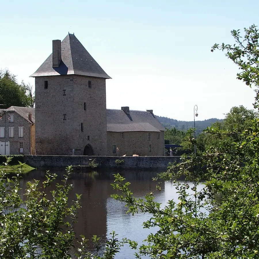
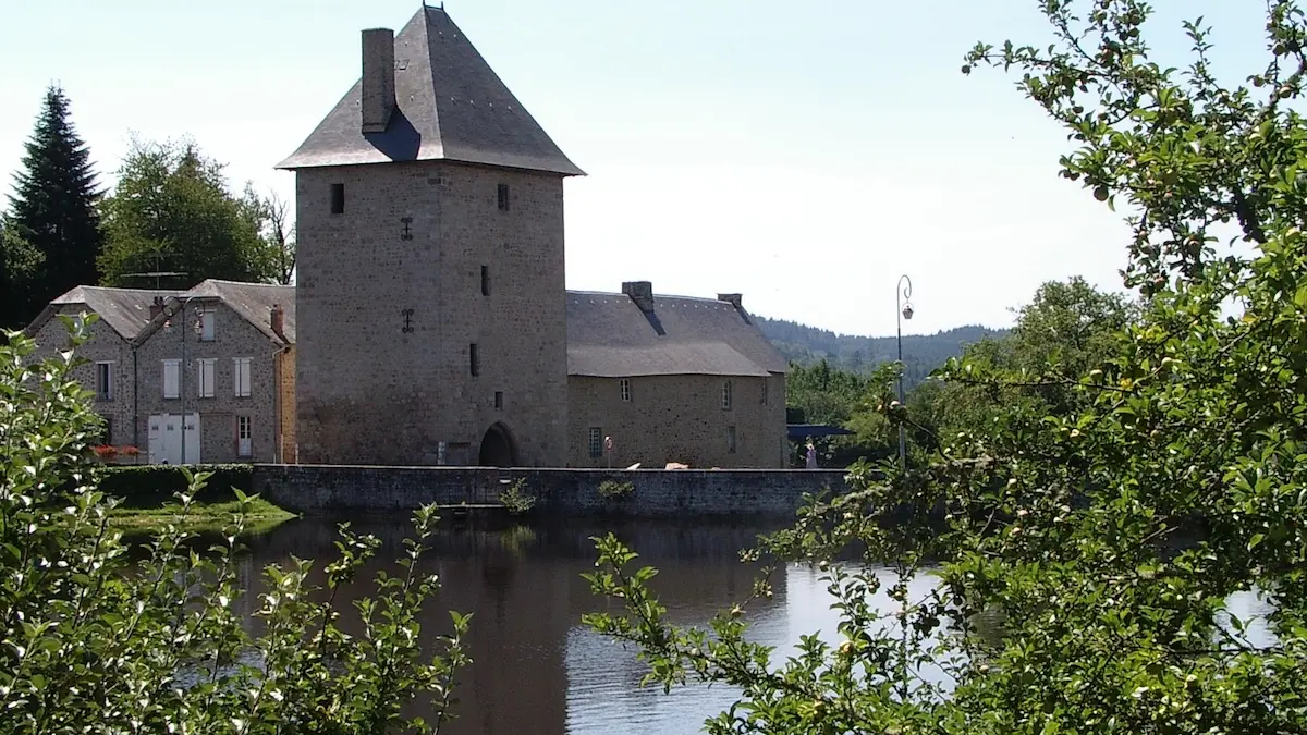
Bujaleuf